Use device as high-performance GPS receiver with USA Raster Nautical . Access without cell signal. Navigate safely in emergencies. Sync with chart plotter if available. Download for offline use. Track location and display real-time data.
Calculate driving , flight , and fuel costs between locations. View travel time and elevation data. Convert results to miles, kilometers, meters, or feet. Find coordinates in DMS or decimal format. Display road maps for routes.
Track sailing voyages with a digital that records vessel details, weather conditions, and route information. Log each trip's data automatically. Share logs with other sailors and connect with the sailing community.
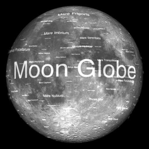
The app renders the Moon in realtime 3D using satellite imagery and topographic data. Users can manipulate the view, adjust sunlight, and see labeled terrain features and spacecraft.
Search locations using addresses or GPS coordinates and save them. Share bookmarks with others or send to multiple map apps. Access map overlays from Google and OpenStreetMap.
Create unlimited maps and add pins, emojis, and images to each. Share maps with friends via code. Never forget locations with visual markers and personal notes.
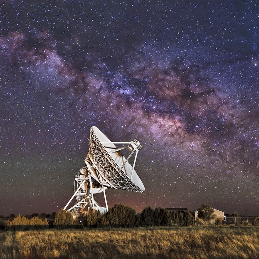
View coordinates for celestial bodies including planets, the Moon, the Sun, stars, and deep sky objects. Check if objects are above the horizon with a green icon. Click to access detailed information.
Search over 200,000 Kuwaiti addresses and use suggestions to locate specific places quickly. Navigate using built-in directions or export coordinates to Google . Supports Arabic UI based on system language settings.
The app provides map display for land and sea with multiple map layers including OpenStreetMap and Apple Maps imagery. It offers features like offline map data, places of interest search, and waypoint management with GPX file support.
Track dive metrics like depth, time, and air pressure. Log dive locations and conditions. Share dive experiences with a community. Access dive guides and safety tips. Sync data with other diving apps. View progress reports and export logs.
Create and customize travel maps by marking visited countries, cities, and places. Add notes and photos to locations. Organize travel routes and collections. Track travel statistics. Share maps on social media.
Real-time 3D maps with GPS navigation. Access HD views for current locations and addresses. Get driving directions and traffic updates. Receive voice-guided routes for navigation. Sync with global earth map for location-based insights.