Access for the USA, Canada, UK/Ireland, Germany, Netherlands, and European rivers. View NOAA vector , freshwater lake maps, and USACE inland river maps with bathymetry data. Create or import GPX/KML routes. Use voice prompts for route navigation.
The app provides information and procedures for boaters. It contains approved methods and procedures for Coast Guard boat operations, serving as a primary reference for training.
View global weather data with interactive map panning and zooming. Switch between weather layers for current and forecasted conditions. Track detailed weather changes up to 0.25 degrees on land or sea.
Calculate groundspeed, true heading, compass heading, leg time, distance, fuel required, fuel flow, and endurance for flight planning. Convert airspeed, altitude, and temperature.
Display tidal information for U.S. locations. View current and predicted levels. Set custom alerts for specific times and locations. Share data via email or social media. Track historical patterns.
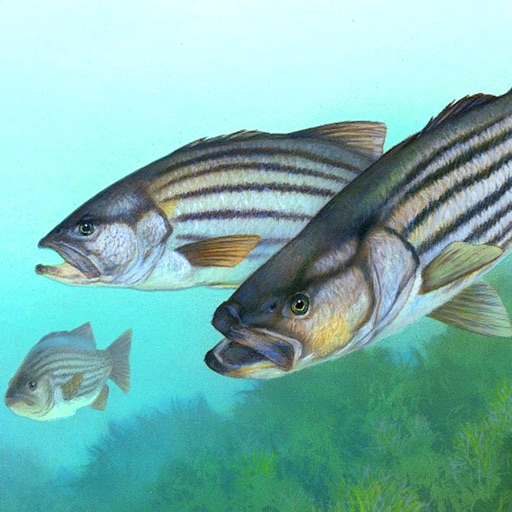
Access real-time reports and high-resolution satellite imagery to plan trips. View detailed reports, track fish species, and analyze water conditions. Share insights with other anglers and save favorite spots for future trips.
Access real-time weather data and live wind reports for sailing activities. View for racing, sailing, and cruising. Locate Tempest Weather Systems near shore markers, buoys, piers, yacht clubs, and waterfront areas.
Access real-time sea surface temperature maps, high-definition satellite imagery, and marine weather . Track water color, currents, tides, and moon phase. Mark and save GPS locations for temperature breaks and color barriers.
Displays current course, speed, altitude, coordinates, orientation, and weather using GPS and compass. It includes advanced bookmarking, Street View, and live Flyover mapping features.
Check weather, wind, wave, and tide for any offshore location up to 16 days in advance. Save unlimited favorite points for quick access. Track real-time conditions and plan ocean activities.
Access pro tournament strategies and leverage an intelligence engine that processes input combinations to identify optimal spots. Track fish behavior, analyze conditions, and receive real-time updates to improve catching efficiency.
Track speed using GPS with real-time updates. Display current speed, distance traveled, and time elapsed. Save trip data and view historical speed logs. Share speed records via social media or email.
View current in mph, km/h, knots, and other units. Display altitude above sea level. Track max and altitude during trips. Monitor distance traveled in trips. Check on Apple Watch. Pro upgrade unlocks custom colors, HUD mode, and ad removal.
Race start timer vibrates and beeps every 30 seconds, with a 10-second final countdown. Displays current boat speed in knots. Uses digital crown to adjust countdown if missed. Allows setup of countdown from 1 to 10 minutes.
Determine location using GPS and MGRS coordinates. Display latitude, longitude, and altitude. Show 16 main directions. Operate offline. Suitable for camping and outdoor navigation.