View and edit custom maps, manage geographic data, and perform measurements. Support offline map downloads, track locations, record photos and videos, and share memories. Includes tools for surveying, cartography, and planning trips.
Access detailed nautical charts with C-MAP® for route planning and GPS navigation. View weather data and marine traffic. Set personal waypoints and record tracks. Explore thousands of pre-loaded points of interest.
Track speed and distance in miles and kilometers. Monitor real-time speed and display maximum and average speeds. Check speed limits and receive warnings for speed and red light cameras. Access offline maps and view weather conditions.
GPS UTM displays precise UTM grid references with 1 metre, 10 metre, and 100 metre formats. Locate position on topographic maps using global datums like ED50. Share coordinates with other apps or users.
View and navigate updated -MAP charts worldwide. Explore, plan, and save Points of Interest and Routes. Use Autorouting to find optimal paths. Access chart layers and track progress. Share routes and points with others.
Weather "View current conditions, forecasts, and radar maps. Set location-based alerts. Customize notifications for severe weather. Share forecasts with others."
The app organizes location data into sets and groups. It displays and converts between coordinate formats, allowing for custom properties and map overlays.
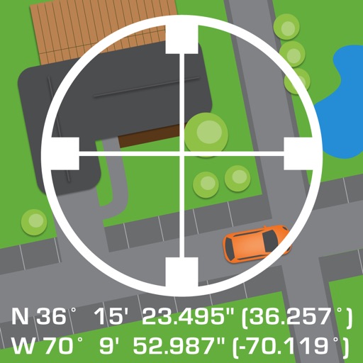
Get accurate GPS and latitude longitude instantly. Display in multiple formats including DMS, UTM, and MGRS. Convert between coordinate systems. Share precise location data directly.
Find fueling from brands like Loves, Petro, and Flying J in the US and Canada. View RV facilities, street addresses, and interstate exits. Check weather, search locations, and access company websites.
Determine location using GPS and MGRS coordinates. Display latitude, longitude, and altitude. Show 16 main directions. Operate offline. Suitable for camping and outdoor navigation.
Download for national parks and USGS topographic regions for offline use. Access 150 NPS park and 60,000+ topographic . Use GPS navigation without internet connectivity. Save for later use in areas with no data service.
Manage waypoints by creating, storing, editing, and organizing them. View detailed fishing maps for accurate charting. Sync data with devices. Log favorite fishing spots and plan trips. Share waypoints across devices.
View current location in UTM or lat/lon formats. Record and save waypoints. Track movement with up to 40 tracklog points. Navigate using GPS for hiking, mountain biking, and kayaking. Switch between coordinate systems. Store up to 3 waypoints.
The app displays current location information automatically. Users can view coordinates, altitude, and addresses for current or specified locations, with options to change map formats and save locations.
Measure areas and calculate distances using GPS. Draw polygons on maps to calculate field areas. Save and share data. Access detailed maps and satellite imagery for accurate surveying.
View 3D terrain with elevation details. Plan routes using detailed topographic . Access footpaths and natural features. Track progress with distance and elevation metrics. Share and routes with others.