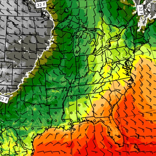
Interactive enroute map for navigation, weather, and airspace visualization. Access real-time flight planning tools, including route optimization and fuel calculations. View aircraft performance data and manage checklists.
Access airport information including runway details, facility data, and operational hours. Search by city, name, or code. Save favorite airports and set a home base for quick access. Browse airports by continent, country, and region.
View 10-day and hourly forecasts. Track high and low temperature times, feels like temperature, wind speed and direction, precipitation, cloud cover, and humidity. Compare current high/low with historical data.
The app offers worldwide flight planning and in-flight navigation for iPad and iPhone. It provides flight plan creation, navigation data, and moving map features for various aircraft types.
Provide real-time weather forecasts along flight routes using Met Office data. Display turbulence details, SIGMET alerts, and vertical flight profiles. Track hazardous weather conditions. Share forecasts with crew members.
View Doppler radar, alerts, and current conditions. Access local forecasts and live cameras. Track severe updates and receive real-time alerts for the Upper Cumberland region.