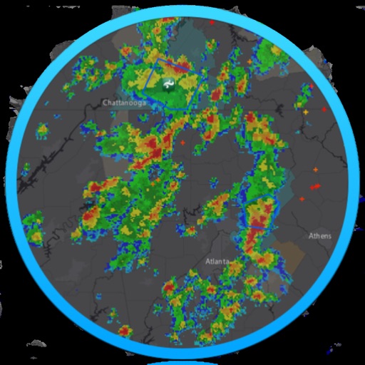
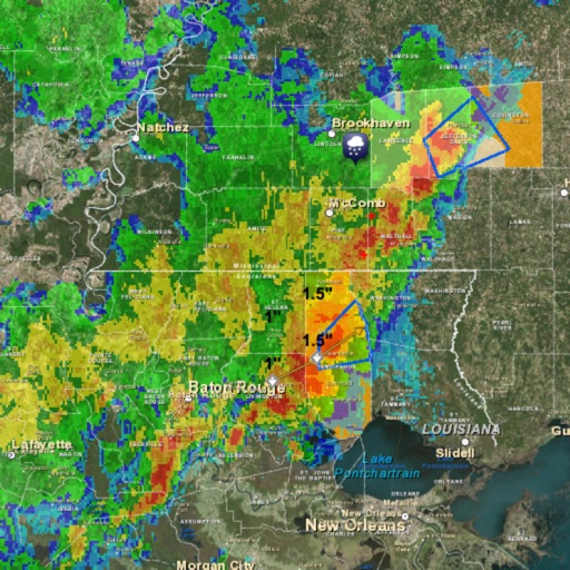
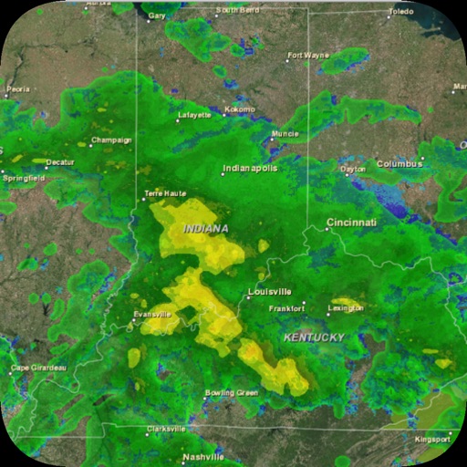
Track storms, hurricanes, and lightning strikes with real-time . Receive severe alerts and hourly forecasts with precipitation details. View wind speed and gusts for up to 24 hours. Plan activities based on accurate insights.
Access real-time weather forecasts with 7-day NOAA data. Tap any location for precise , wave, and weather details. View overlays for comprehensive coverage. Check point and zone forecasts based on NDFD data.
View real-time images for rain, snow, and mixed precipitation. Receive severe alerts. Get 24-hour precipitation forecasts. Access satellite cloud cover imagery. Select from standard, hybrid, or satellite map backgrounds.
View forecasts with satellite maps and Doppler . Check hourly temperatures and hurricane alerts from NOAA. Access live traffic updates and emergency transit alerts. Track current sun position and daily history.
View real-time weather , , and satellite imagery. Check current observations and forecasts. Set location-based alerts. Track storm movements and severe weather patterns. Share weather data with others.
View satellite imagery updated in near real-time. Track hurricanes, storms, and severe . Monitor wildfires and smoke. Explore current and forecasts for rain, wind, temperature, and pressure. and interact with global maps.
Access real-time weather data with customizable storm tracking and radar imagery. Monitor live video and sensor data from cyclonePORT stations. Set alerts for severe weather conditions. Share weather updates and forecasts with others.
View hourly and daily with temperature, precipitation, and wind details. Track severe alerts and radar imagery. Set location-based notifications and customize alerts for specific conditions. Share with others via social media or messaging.
Receive alerts via audible push notifications. Access live broadcasts and replay past alerts. Get real-time warnings, watches, advisories, and forecasts. Track hazardous conditions 24/7. Sync with the National Service for accurate updates.
Live weather updates provide current temperature, humidity, and wind conditions. View radar maps for real-time precipitation tracking. Access detailed charts for long-range forecasts. Set location-based alerts for severe weather changes.
View real-time high-resolution for storm and precipitation tracking. Access global forecast models for detailed predictions. Monitor air quality and receive accurate forecasts. Track severe patterns and plan accordingly.