The app uses NOAA nautical charts for planning routes and placing marks. It features a fast chart quilting engine and does not require a data connection after initial download.
by Nautical Solutions Internation★ 2.17 ratingsNavigation$39.99Data updated 2026-10-17
View weather trends for the next 48 hours with graphical depictions of temperature, atmospheric pressure, humidity, wind speed, and cloud cover. Tap anywhere on the chart to see specific data.
Navigate with sarcastic guidance and turn-by-turn directions
Provide turn-by-turn navigation using Mapbox. Long press to add points of interest. Receive voice guidance and real-time traffic updates. Get humorous feedback for missed turns. Adjust route preferences and sync with iOS devices.
Visualize seabed types including sand, Posidonia, coralligenous, and rock. Access port information, maritime regulations, and diving sites. Book mooring buoys for secure anchoring. Track anchoring locations and monitor seabed conditions in real time.
View marine with satellite and terrain overlays. Access local weather forecasts. Use NOAA raster for navigation. Track position and route. Share maps and waypoints. Work offline without mobile coverage.
View and analyze GPX and KML files to explore existing tracks or plan new routes. Display detailed maps with waypoints, paths, and elevation data. Share tracks via email or social media. Sync with GPS devices for real-time navigation.
The app provides current FAA aviation charts updated every 28 days, including approach plates for the USA. It offers VFR, IFR, and other chart types, with METAR/TAF and IFR overlays.
Provides turn-by-turn GPS navigation with lane guidance and spoken instructions. Detects speed cameras in real time. Tracks route distance, time, speed, and speed cameras encountered. Displays real-time traffic updates and gas price information.
Track trails with precise GPS mapping and save waypoints. Measure distances and elevation changes. Share routes and view real-time navigation updates. Sync with other devices for collaborative exploration.
Track satellite passes using augmented reality. View the International Space Station, Starlink Trains, and other satellites in real time. Overlay positions on the night sky via iPhone or iPad camera.
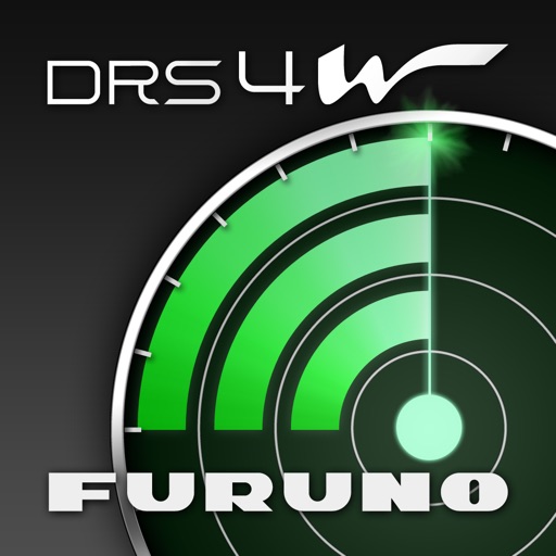
The app connects to the Furuno Wireless Radar Sensor DRS4W to display and control radar images on iOS devices. Users can view radar images after connecting their device to the DRS4W and launching the application.
Navigate waterways in the Netherlands, Belgium, and Germany with detailed charts showing fairways, buoys, and traffic signs. Access bridge and lock information, including opening times and contact details.