The app provides detailed, up-to-date forecasts and location-specific alerts from the local KXLY First Alert weather team. Users can view live and future radar, satellite imagery, temperature, and wind speed maps, and check local school closures.
The app provides live weather forecasts for Belgium, updated in real time by experts. It includes details on temperature, wind, precipitation, and fog, with a 10-day outlook available in landscape mode.
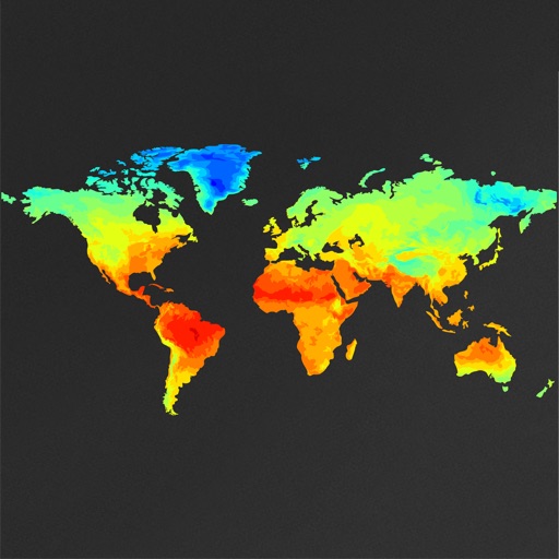
View global weather data with interactive map panning and zooming. Switch between weather layers for current and forecasted conditions. Track detailed weather changes up to 0.25 degrees on land or sea.
Check times and coastal conditions with real-time updates. Track high and low via Live Activities on Lock Screen and Dynamic Island. View data at a glance using Apple Watch widgets. Save favorite locations and set alerts for specific events.
The app provides 7-day forecasts in 3-hour periods for 2 million locations. It includes details on temperature, wind, pressure, precipitation, humidity, UV index, and extreme weather alerts.
View real-time images for current conditions. Track storm movements and severe alerts. Set location-based notifications. Access detailed forecasts and temperature data. Share updates with others.
The app provides local weather information for the United States and its territories. It includes a radar view, hourly forecasts, and a 7-day outlook with detailed weather charts.
The app provides a live weather forecast for Sweden, updated multiple times a day by weather forecasters. It includes rainfall radar, sunshine probability, perceived temperature, and wind details for the next 10 days.
The app provides hour-by-hour and ten-day forecasts. It includes radar with detailed overlays and local weather conditions from the KOMU 8 First Alert Weather team.
Plan and navigate using an interactive moving map with aeronautical charts, satellite, or vector map backgrounds. View real-time flight data, track position, and adjust routes. Access up-to-date weather and airspace information.
Displays wind and gust forecasts with live data from 30000+ weather stations. Shows wave info including swell, period, and energy. Tracks , currents, and real-time wind. Lists over 75000 spots sorted by location and type.
Access real-time data including METAR, TAF, and NOTAM reports for 50,000+ airports. View satellite maps and decoded information. Filter nearby airports by runway length and METAR/VFR availability. Save favorites and organize into groups.