

Apps Like Big North for iPhone and iPad
Big North screenshots
Ranked alternatives
Showing 561–580 of 1,000 ranked alternatives.


North Naples CrossFit
PushPress, Inc.
Reserve classes, sign up for events, update
Members can reserve class spots, sign up for gym events, and manage accounts by updating headshots and credit card information. View class schedules and event details.


iGPS
Ynfo SAS di Graziano Gennaro & Co.
Access GPS and weather information.
The app provides access to device GPS functionality, displaying heading, compass, map views, speed, distance, coordinates, and altitude. It also offers weather information including temperature, humidity, pressure, cloud cover, and wind speed.

Allegheny County Parks Trails
County of Allegheny
Explore , navigate with GPS
Explore with detailed descriptions and trail information. Use GPS to navigate based on skill level and preferences. Download maps for offline access. Track hikes with elevation profiles and route details.

MapApp NZ North Island
Saga Systems Ltd
Navigate with topographic maps
View topographic maps of New Zealand's offline. Locate current position via GPS. Search for place names. Includes all map data from LINZ 1:50000 scale Topo50 series.


3D Mappa - GIS & Topo Analysis
Andres Narvaez
Visualize terrain, analyze elevation, export data
Visualize elevation, slope, and contours in 3D. Export data to DXF, SHP, CSV, OBJ, glTIF, and STL. Analyze terrain features and integrate with AutoCAD and GIS software. Perform quick data exports and simplify complex GIS tasks.



GPS Speedometer Speed Tracker+
Simple Start Technologies
Track , time, and distance with GPS
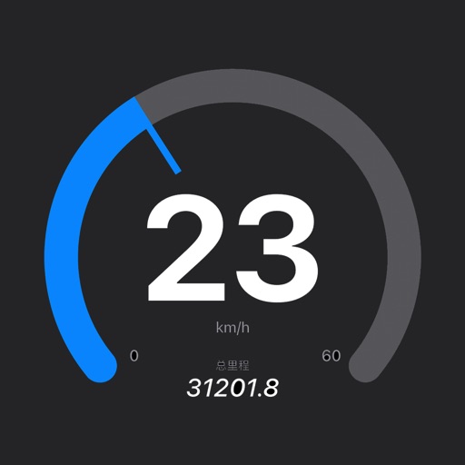
Track time, , and distance using GPS. View through analog and digital displays. Monitor travel data with precise GPS tools. No manual setup required. Start tracking instantly upon movement.


How we rank alternatives
Apps are ranked by functional similarity, category fit, rating confidence, and popularity.