Track vessel positions in real-time using AIS data. View latitude, longitude, speed, course, and draught. Identify vessels by unique ID. Access global coverage with accurate maritime tracking.
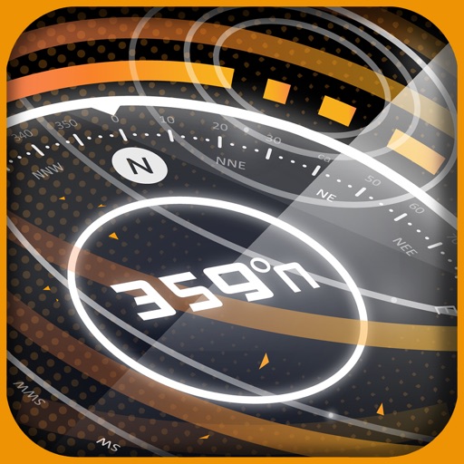
A displays cardinal directions and uses GPS to determine location. It features a realistic virtual interface, shows geographical directions, and helps users navigate effectively.
Track vehicles in real-time using internet-connected smartphones or tablets. Log in with existing account credentials from Ánh Dương's monitoring system. Provide feedback to improve the service.
Find nearby bus stops with maps and distance information. View list of campus bus stops sorted by proximity. Check arrival times and next bus schedules. Track real-time bus locations and receive updates on departure times.