Find and share locations with a map interface. Pin locations to view coordinates or addresses. Select transportation options to share real-time location updates. Quickly check current location or specific destinations with minimal clicks.
Measure acceleration, orientation, and motion with built-in sensors. Record and analyze real-time data for experiments. Detect and generate sound tones. Visualize audio waveforms. Export measurements and graphs for scientific use.
The app displays device orientation to magnetic fields. It provides location coordinates, course, speed, altitude, weather information, date, time, and map views.
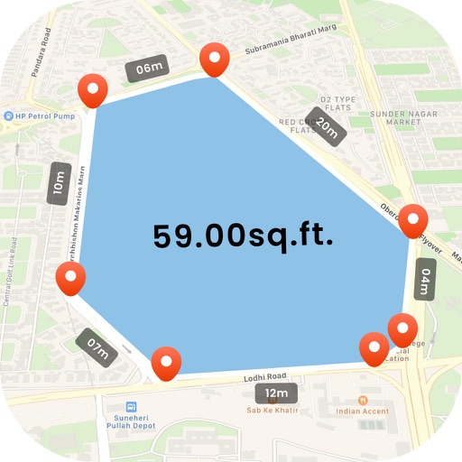
Measure land , distance, and perimeter using GPS. Create projects, add team members, and sync measurements in real time. Set permissions for different roles and collaborate on shared projects. Export data and view detailed reports.
The app provides ROP e-services on smart phones, allowing users to access services like traffic offense inquiries and visa status checks from any location. It also offers ROP news, service information, and a telephone directory.
The app records strike and dip measurements, bearings, and plunge. It simultaneously displays the user's latitude, longitude, and elevation, and saves measurements with photos and notes.
Trace paths on maps to analyze elevation, distance, gradient, and bearing. View elevation and grade profiles of traced routes. Calculate area of arbitrary paths. Use satellite or default map views for terrain study.
The app uses GPS to identify the zip code, address, and GPS coordinates of the current location. It functions in US locations and almost any international geography.
Visualize distances on maps with customizable circles. Set parameters and units. Display areas to check proximity of locations. Track multiple points within defined ranges.