Check real-time status of boat ramps including open status, parking occupancy, and law enforcement presence. Receive updates from other boaters. Navigate to ramps with available space and current conditions.
by ALEJANDRO PALAU GONZALEZ★ 5.02 ratingsNavigationFreeData updated 2026-09-06
View and control radar, sonar, and chartplotter data from a mobile device. Monitor boat systems remotely via YachtSense Link. Manage LightHouse Charts and stream legacy eS/gS chartplotter displays.
Display real-time space availability for university decks. Check commuter and staff/faculty lots. Receive updates on occupancy and navigate to available spots.
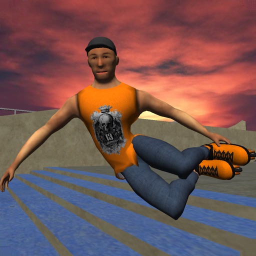
Play a 3D aggressive skating game. Perform tricks like manuals, slides, and flip tricks. Combine moves into combos. Choose from 9 skateparks or build custom parks with ramps, rails, and funboxes. Customize character clothing and skates.
Access vector charts, freshwater maps, and USACE river maps. Create or import routes using GPX/KML. Receive voice prompts for navigation. View tide and current predictions. Rotate charts with text remaining upright.
Report vehicle towing incidents, retrieve car locations, and access real-time community alerts. View high-risk towing areas. Learn local towing regulations and vehicle recovery steps. Share towing activity with others.
Access digital nautical for offline use. View comprehensive harbour details and features. Compatible with NV paper . Supports North Sea, Baltic Sea, Netherlands, Wadden Sea, and Ijsselmeer regions.