Identify and name mountains and peaks using a 360° panorama view. Access offline maps with detailed peak information. View over one million mountain names and locations worldwide. Navigate without an internet connection.
Ride-sharing allows users to locate and unlock electric scooters via QR code. Track routes, monitor battery life, and pay for trips through the . Find nearby scooters, start and end rides, and follow parking guidelines.
Browse LGBTQ+ venues globally with detailed location information. Search for gay bars, clubs, safe spaces, and other queer-friendly spots. View real-time updates and user reviews. Filter by category, location, and availability.
Explore transit routes and schedules for major cities worldwide. View detailed maps with station locations, line connections, and real-time updates. Find nearby stations and plan journeys using integrated maps.
Watch live HD streams from hundreds of hidden cameras around the world. Explore cities, mountains, waterfalls, and beaches. wildlife in their natural habitats across Asia, America, and Africa. Stream 24/7 without downloads or installations.
AI-powered discovery finds restaurants, cafés, trails, and hidden gems matching your preferences. Fog of World mode gamifies exploration with auto-logging of visits. Track locations and relive journeys through personalized maps.
Find fishing spots with of rivers, lakes, and streams. View property boundaries to stay legal. Locate access points, boat ramps, and local shops. Use the River Measuring Tool to track conditions and log fishing success.
-level footage from any location worldwide. Navigate through real-time camera feeds to explore cities, nature, and wildlife. Access travel tips and discover streams from various global locations.
Provides detailed offline maps and GPS waypoints for canyoneering, slot canyon hiking, and climbing. Includes route descriptions, roadside attractions, and river float information.
Allows users to browse , search locations, save favorites, and use turn-by-turn . Premium subscription enables traffic-aware routing, activity recording, offline , and elevation map views for terrain clarity.
Find locations and points of interest with detailed search. Navigate using turn-by-turn directions for driving, motorcycle, and public transport. Support Apple CarPlay and multi-mode routing. Track real-time traffic and road conditions.
View 3D terrain and satellite imagery for global geographic data. Input coordinates to navigate directly to street-level views. Access night mode for nighttime visuals. Track flight paths on a world map. Use compass for accurate satellite navigation.
Rent dockless scooters by scanning QR codes. View vehicle locations and availability. Register and unlock bikes for rides. Track routes and manage trip history. Receive notifications about status and nearby vehicles.
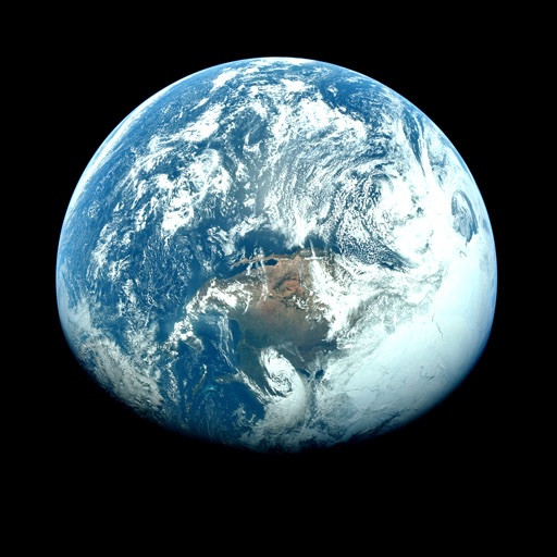
Explore a 3D model of with real-time sun position and dynamic lighting. Rotate the globe, zoom in on continents, and view and galaxies. Adjust lighting effects and track celestial movements. Share the view via screen recording or screenshot.
Determine using GPS, barometer, or location input. View data on interactive maps. Access real-time altitude readings. Compare changes across locations. Save and share measurements.
Track boating trips in real time without extra hardware. Share location and journey details with friends. Log activities like sailing and rafting. Connect with other boaters who share similar interests.
View satellite imagery and time-lapse data to analyze features. Compare images using an A/B slider. Visualize environmental data like air pollution, vegetation, and sea ice. Explore unfiltered satellite views from the ESA’s Sentinel-2 satellites.