Play interactive games to learn animals, numbers, alphabet, fruits, transports, professions, emotions, colors, and musical instruments. Use sound effects for engagement. Features simple controls for easy handling.
Provides detailed subway maps with English and Chinese language support. Displays real-time metro lines and stations. Includes route planning, GPS navigation, and offline functionality. Offers street maps for navigation.
Emergency alerts for organizations and businesses.
The app allows users to communicate emergency information, including GPS coordinates, text, audio, and photos. Administrators can initiate lockdowns and survey user emergency status.
Solve visual puzzles by folding and punching . Predict hole placements after folding. Progress through 1,885 levels with increasing difficulty. Improve spatial reasoning, short-term memory, and logic skills.
Play games to improve visual skills and viso-spatial abilities. Identify symmetrical patterns, locate numbers in ranges, and recognize 3D shapes. Stop moving elements, solve puzzles, and estimate perimeters and contours. Suitable for all ages.
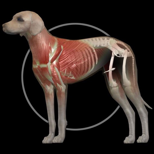
Explore anatomical structures with 3D models. Rotate, slice, and zoom to view layers. Tap labels for descriptions, audio pronunciation, and close-ups. Quiz yourself or create custom quizzes on anatomy sections.
Test buttons and analog controls in real time. Display pressed keys, axis movement, stick input, and pressure. View raw input data and response. Troubleshoot connected controllers for functionality checks.
Practice instrument flying with interactive modules
Learn instrument flying with interactive modules for ADF/RMI, VOR/ILS, HSI, and IFR procedures. Practice holding patterns and entries through animations and exercises. Use a built-in IFR simulator for training.
Solve problems with step-by-step explanations. Understand concepts through interactive lessons. Practice with customizable exercises. Get instant answers and feedback. Track progress over time. Share solutions with others.