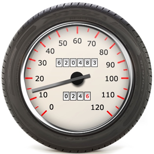
Displays current geographic position with latitude, longitude, altitude, speed, and units in metric or imperial. Save and store multiple locations. Show distance to saved locations. Send current or saved location via message or email.
Allows users to track trails with real-time GPS and high accuracy positioning. It offers multiple map layers including OpenStreetMap, Satellite, Terrain, and Topographic views.
Navigate using vector maps with unlimited zoom. Plan and share routes. Import and view points of interest. Synchronize with a trip-planning site. Track location without cellular reception.