

Apps Like TrailGuide GPS for iPhone and iPad
Ranked alternatives
Showing 381–400 of 1,000 ranked alternatives.

GPS & Map Toolbox
Audama Software, Inc.
Save, organize, share location records.
The app organizes location data into sets and groups. It displays and converts between coordinate formats, allowing for custom properties and map overlays.


Speedometer GPS & Compass
华明 罗
Track speed and direction in real time
Track real-time speed and power using a digital . Monitor maximum and average speed during trips. Use a to determine direction, view altitude, and track coordinates.

Route Planner - GPS MGRS UTM
Ivan Blajic
Plan routes, view maps, and overlay grids
View maps in multiple styles and overlay grids for precise navigation. Access live location data including coordinates, address, heading, and speed. Plan routes with detailed terrain analysis and save custom waypoints.
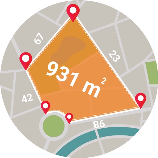
Live GPS Land Area Calculator
Muhammad Asad Khan
Measure areas and distances with GPS
Calculate areas, plots, and distances using GPS technology. Draw and map regions on a map. Measure perimeter and of custom shapes. Save and share measurement data. Export maps in various formats.


NSMeter
Daichi Kato
Record routes and track speed
Track speed and altitude during outdoor activities. Record and visualize movement history on maps. Display data in charts for easy analysis. Save and review route details after completing activities.


GPS Server Mobile
MB AE digital
Track objects in real time
Monitor real-time vehicle data including location, speed, and status updates every ten seconds. View altitude, address, and ignition status. Access tracked object information without refreshing or relogging in.

Compass Ω
Generative Pictures LTD
Navigate with accurate GPS and coordinates
Display GPS coordinates in DMS, DDM, or DD formats. Show altitude in feet or meters. Track speed with a speedometer. Share coordinates. Switch between magnetic and geodetic north. Use flashlight for nighttime. Provide location data.


StrikeLines
Strikelines Pensacola, LLC
Record trips, track waypoints, download maps
Track fishing trips with GPS recording and save detailed trip data. Manage waypoints to mark and revisit productive locations. Import and export GPX files for data sharing or backup.

Radar Omega Weather - Forecast
Tran Thi Viet
Track and conditions
Monitor current conditions with real-time and satellite imagery. Check detailed forecasts for specific locations. Track temperature, precipitation, wind speed, and humidity. Receive alerts for severe . Share data with others.
How we rank alternatives
Apps are ranked by functional similarity, category fit, rating confidence, and popularity.