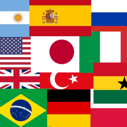
The app allows users to learn countries through jigsaw puzzles divided by continent. Users can understand country shapes, locations, and national flags, with country names read aloud upon release.
By selecting from multiple options. Choose difficulty levels over 120 . Purchase hints from the store. Share on Facebook to ask friends for help. Track progress through multiple rounds.
Compare sizes by dragging them on a map. Adjust positions to see size changes based on distance from the equator. Search or tap to select countries. View distortions caused by flat map projections.
The app challenges users to identify world flags within a 30-second time limit. Bonus time may be awarded for good performance, and points vary based on flag difficulty.
The app allows users to discover countries, capitals, rivers, and deserts through playful learning on beautifully designed maps. Users can test their knowledge in challenges and unlock new maps and difficulty levels.
Allows users to identify from countries and regions. Players select from increasing difficulty levels. Features include flag images, hints, and score tracking. Users can compete against others or play solo.
Learn through targeted repetition and active recall. Use adaptive spaced repetition to adjust review intervals based on memory performance. Practice with multiple-choice quizzes and other modes to reinforce knowledge.
Explore countries through interactive flags on a dynamic map. Tap to view interesting facts. Track travel progress with a pie chart showing visited countries. Add visited locations to update progress. Share travel achievements with others.
Explore 3D flag models and view corresponding capital cities on interactive maps. Check distances between locations. Access Wikipedia information with a tap.