Navigation allows users to view direction aligned with satellite imagery or maps. Displays street address, GPS coordinates, elevation, and What3Words codes. Taps switch between satellite and map views. Pinch or spread to zoom.
Distances, perimeters, and areas using GPS. Place markers on or objects. Share results with colleagues. Calculate quantities like spray or fertilizer needed. Export measurements for record-keeping.
Measure geographical orientation with a precise . Display longitude, latitude, altitude, weather, and magnetic field data. Record location points and view saved travel history.
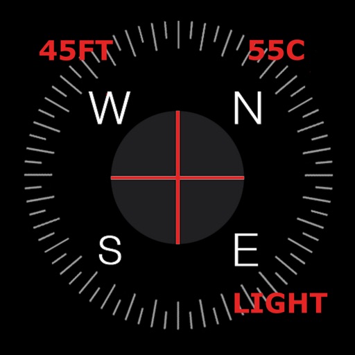
Displays current with a large degree reading and a pointing arrow. Shows cardinal directions and a rotating rose. Includes a flashlight for low-light visibility. Provides accurate north orientation for land and marine navigation.
GPS speedometer displays real-time speed for driving, biking, or walking. Measure trip distance offline. Track altitude for planes. Switch between mph, km/h, and knots. Use Today Widget or Apple Watch. Adjust screen color and toggle mirror .
Navigate using a GPS to any saved location. Save current position, input coordinates manually, or extract GPS from photos. View saved points history and export coordinates to Google or Apple Maps.
Displays current direction with a clear, minimal interface. Taps to reset orientation. Adjusts for magnetic declination automatically. Offers calibration and tilt sensitivity settings. Syncs with device sensors for accurate readings.
The app helps Muslims find the Qibla direction toward the Kaaba in Makkah using GPS, magnetometer, and location services. It works globally, even without an internet connection, and features a visually pleasing compass interface.
Mark objects on the map and align them with real-world images from the camera. View mapped locations with camera input. Use for direction and navigation.
Displays real-time traffic and satellite views. Shows current location and allows address input. Measures land area and calculates radius and corners. Shares location via email, SMS, or social networks. Auto-updates direction based on movement.
A that displays magnetic and true north. Switch between modes. Rotate map for directional reference. Includes for altitude measurement on compatible devices.
Displays current speed, longitudinal and transverse slope, and ascent/descent percentages. Switch between normal and HUD modes for windscreen reflection. Verify vehicle speed during cycling, running, flying, or sailing.