Record driving routes with GPS tracking. View speed, distance, duration, and average speed. Analyze maximum speed, acceleration times, altitude changes, and stops. Display data in charts for performance review.
The app identifies summits, shelters, lakes, and springs in the Vosges mountains. It guides users to tourist attractions, picnic areas, and villages, and allows photo capture with location details.
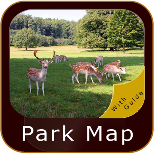
The app provides GPS map navigation for outdoor adventures in UK National Parks. It offers online and offline modes with detailed charts, GPS tracking, and name searching.
Explore self-guided walking tours with detailed city maps. Navigate through attractions and hidden spots. Locate points of interest and plan routes. Track progress and access real-time navigation. Share locations and save favorite spots.
Explore self-guided walking tours with detailed city maps. Navigate to attractions and hidden spots. Track your route and access real-time location data. Save favorite locations and view points of interest. Share tour routes with others.
Explore self-guided walking tours of the city with detailed maps and route guidance. Discover attractions and hidden spots at your own pace. Locate points of interest and navigate using the built-in city map.