

Apps Like MyCloudBase for iPhone and iPad
MyCloudBase screenshots
Ranked alternatives
Showing 221–240 of 1,000 ranked alternatives.
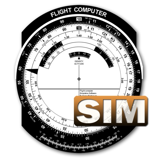
Flight Computer Sim
Diego Rodrigues
Calculate data with precision
A utility simulates an E6B slide ruler for aircraft pilots. Perform conversions, wind corrections for low and high speed. Rotate, slide, and pinch zoom for precise control. Includes three calculation modes.


Altimeter - My Altitude
伟 雷
Track and position data
Measure , position, and coordinate information in real time. Customize display settings for , speed, and coordinates. Use the coordinate picker to retrieve location data from any map point.

Air Flow Conversion Calculator
Tan Chia Ling
Calculate airflow rate instantly
Calculate airflow displacement by inputting velocity or volume. Select duct type and dimensions with unit options. Instantly display results in preferred units including fl/min, m/s, and ft3/min.


Iphigénie | Offline Maps
Iphigenie
Navigate with detailed topographic maps
Plan hikes by downloading detailed topographic maps for offline use. Access IGN, SwissTopo, and OpenTopo basemaps. Track routes, view elevation data, and navigate with precise geographic information. Share maps and waypoints with others.



Drag4Distance
Michael Critchley
Drag to measure routes and track distance
Measure distances by dragging a finger across the map to calculate route lengths. Center on current location with the locator button. Clear routes by shaking, using the trash button, or dragging again.


Minimums - METAR/TAF Analysis
Tailwheel Labs Ltd.
Track weather for airports and set custom
View METAR and TAF data for global airports. Set custom for takeoff, landing, and alternate weather conditions. Create alerts for weather changes using push notifications. Customize units for visibility, wind speed, and temperature.
How we rank alternatives
Apps are ranked by functional similarity, category fit, rating confidence, and popularity.