Navigation allows users to view detailed maps with higher resolution and more street names. Display four times more map content on the screen. Includes sharper satellite imagery and points of interest. Adjust map scale for comfort.
The app computes distance and bearing using Maidenhead location. It displays a map with annotations and overlays identifying grid areas, and allows users to add new annotations by touching the screen.
Manage vehicle security settings remotely. View real-time GPS location and vehicle status. Arm or disarm the alarm system. Receive alerts for movement or tampering. Control the vehicle's electrical systems.
The app displays hunting zones overlaid on various maps for users to determine their location and corresponding zone. Users can view open seasons for different game types and add personal waypoints, tracks, and drawings.
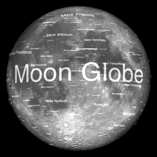
The app renders the Moon in realtime 3D using satellite imagery and topographic data. Users can manipulate the view, adjust sunlight, and see labeled terrain features and spacecraft.
Multiple audio and video devices including TVs, Blu-Ray players, and streaming devices. Adjust volume across all connected devices. Access a comprehensive code library for various brands. Follow an online setup guide for easy configuration.
The app displays local time in 12H and 24H format alongside UTC. It shows the user's grid square and local sunrise and sunset times if the location is available.
Review official Class FCC questions and answers. Take quizzes by topic and full practice exams. Track performance and progress over time. Study for the license with structured practice and feedback.
Provide turn-by-turn navigation with real-time GPS and live traffic updates. Compare multiple routes by time and distance. Recalculate routes dynamically as you drive. Control music, contacts, and other vehicle features from the iPhone interface.
Track with real-time predictions and interactive maps. View orbits, identify the International Space Station, Hubble Space Telescope, and other satellites. Set location and time for accurate pass information.
Access boating information with detailed charts, graphs, and illustrations. Look up formulas, safety guidelines, and equipment specifications. Search for content by topic or use the table of contents. View 800+ images and diagrams for visual .
Access real-time data and satellite imagery from multiple sources including Clear Sky Charts, Clear Outside, Meteoblue, Windy, Astrospheric, and Sat24. View water vapor images and track wind patterns.
Request with 24-hour emergency support. Locate nearby service providers, track tow truck arrival, and view coverage details. Submit claims and receive updates on service status. Manage account settings and access service history.