Monitor real-time location and environmental data for marine activities. Receive smart alerts for safety risks. Access offline maps and navigation tools. Record and retrieve black box data for incident review.
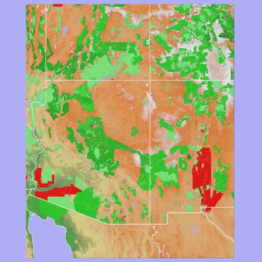
The app provides 3D topographic maps for iPad and iPhone. Vector map data is contained within the app for offline use, supporting navigation in various environments.
Access live flight information and track arrivals/departures. Find terminal layouts and navigate using interactive maps. View transport options including buses, trains, and taxis. Get real-time updates on delays and gate changes.