
LinkedMap
Bingxin Li
Plan multiple routes with pin drops.
The app supports multiple pin drops with annotations for planning routes. Users can select different routes and view specified routes on the map.

Showing 301–320 of 1,000 ranked alternatives.
Bingxin Li
Plan multiple routes with pin drops.
The app supports multiple pin drops with annotations for planning routes. Users can select different routes and view specified routes on the map.

Gilbert Montane Pinto
Find, save, and navigate locations
Know current coordinates and address. Save and view favorite locations with categories. See routes to saved or searched locations from current position. Share current or saved locations via Mail, SMS, and WhatsApp.



Mark Granger
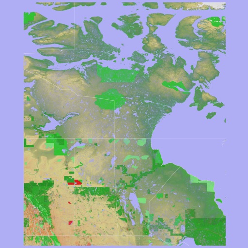
3D topo map of Western Canada
The app provides a 3D topographical map of Western Canada. Map data downloads to the device for use without an internet connection, allowing users to view terrain features as small as ten meters.

Mark Granger
3D topographic map of Eastern Canada
The app presents a 3D topographic map of Eastern Canada. Users can download map data for use without an internet connection, suitable for various travel methods.


Cleveland State University Research Corporation
Explore Rhode Island's rich heritage and culture.
The app provides access to Rhode Island's heritage and culture through an interactive GPS-enabled map. Users can explore historical information, images, and media from archival collections and historical publications about locations across the state.

Bist LLC
Navigate with voice prompts and route manager
Access vector charts, freshwater maps, and USACE river maps. Create or import routes using GPX/KML. Receive voice prompts for navigation. View tide and current predictions. Rotate charts with text remaining upright.

On the way, LLC
Navigate with turn-by-turn guidance
Navigate using turn-by-turn directions for driving, walking, or biking. Add stops along the route. Search for destinations in map view, list view, or both. Toggle between views for easy route planning.



n3rds GmbH
Search locations and share maps
Search locations using addresses or GPS coordinates and save them. Share bookmarks with others or send to multiple map apps. Access map overlays from Google and OpenStreetMap.


homedatasheet.com, Inc.
Real-time elevation and ground data.
The app displays real-time elevation using the device's GPS receiver and geoid model. It also shows ground elevation from web services and includes a real-time map with spot elevation data.

The Ohio Department of Transportation
Track with classification
Locate current position on Ohio roads using classification: County, Route, and Section. View map with assets and auto-refresh data as you travel. Export details via email. Works only on -maintained roadways in Ohio.

Blue Blink One, SL
Know where users are easily.
The app provides coordinates, direction, and elevation above sea level. Users can save locations by searching and tapping on the map, then send this information via email, Twitter, or SMS.

Apps are ranked by functional similarity, category fit, rating confidence, and popularity.