Track fuel levels by inputting the last displayed "miles remaining." Monitor actual fuel consumption during driving. Determine true empty point based on real trip data. No setup required. No technical jargon.
by Bronson Holland★ 5.02 ratingsNavigationFreeData updated 2026-09-06
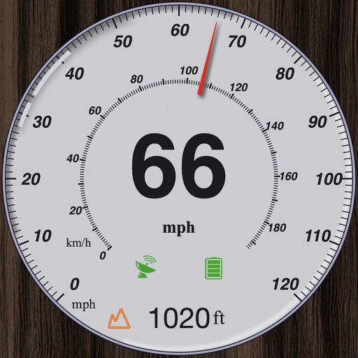
GPS measures and displays speed for walking, jogging, cycling, cars, boats, trains, and airplanes. Users can select display units and choose between two scales. Trip recording and average speed tracking are available.
View real-time river gauge data for specific locations along the Upper Mississippi River. Monitor water levels, flow rates, and historical trends. Receive alerts for significant changes. Share data with other users or save for later reference.
Record EMF levels using device sensors. Analyze data with interactive charts. View real-time measurements via gauge and diagram. Automate long-term recordings. Export and share results. Track EMF patterns for research.
Detect electromagnetic fields using phone compass. Measure magnetic and electric fluctuations. Identify sources of interference. Calibrate for accurate readings. Display real-time field strength. Save and share measurement data.
Control lifting with an integrated load gauge to monitor capacity. Set and recall "Smart" top and bottom points for quick adjustments. Lift and store bulky or heavy objects with ease. Connect to storage solution for seamless management.
View real-time buoy observations from 800+ NDBC buoys. Check forecasts for over 300 zones. Access tide predictions and current hourly forecasts. Save favorite buoys and locate the nearest one. Sync data across all devices.
Edit vehicle maps and tuning parameters using a map editor. Switch maps via steering wheel. Enable flex fuel tuning and anti-lag. Monitor ethanol content on the RPM gauge.