The app provides pilots with various flight-related calculations including distance, time, speed, altitude, and wind components. It also offers unit conversion and coordinate conversion features for iPad users.
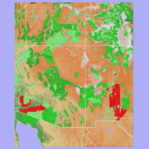
The app provides 3D topographic maps for iPad and iPhone. Vector map data is contained within the app for offline use, supporting navigation in various environments.
Navigate Greater Melbourne with detailed street maps and over 2000 new listings. Access updated Ballarat maps not available in print. Search for addresses, businesses, and landmarks. Sync with Melway Street Directory for accurate local information.