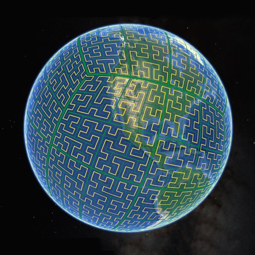
Display S2 cell boundaries globally. View cell IDs and compare with real-world landmarks. Integrate with Ingress Intel Map to check portals and stops. Ensure new submissions align with cell boundaries.
Plan routes for hiking, biking, or driving with path snapping to trails, roads, and footpaths. Navigate using phone, bike computer, GPS, or Garmin watch by sharing routes via , Garmin Connect, or GPX files. Download maps for offline use.
Access real-time location data and choose from over 70 map layers for detailed boundary and land ownership info. View satellite, topographic, hybrid, and road maps. Set permissions and contact details for areas you visit.
The app provides real-time traffic information, accident reports, and roadwork notifications. It uses the device's location to display nearby transport data, including cycle lanes and charging points.
The app provides worldwide marine and outdoor maps, satellite imagery, and terrain overlays. It offers local marine weather forecasts, tide data, and wind information, functioning without mobile coverage.
View marine with satellite and terrain overlays. Access local weather forecasts. Use NOAA raster for navigation. Track position and route. Share maps and waypoints. Work offline without mobile coverage.
The app provides worldwide marine and outdoor maps, satellite imagery, and terrain overlays. It offers local marine weather forecasts, route planning with unlimited waypoints, and track recording without needing a cellular signal.