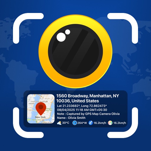
Photos and videos with real-time location, date, time, latitude, longitude, altitude, and weather data. Capture timestamps during拍摄. View map-based location pins for each media file. Export geotagged files with embedded metadata.
Capture photos with embedded GPS coordinates, date, and time stamps. View map overlays and location details directly in images. Share geotagged photos with precise timestamps and location data.
The app offers photo editing tools including cropping and enhancement. Users can apply effects, overlays, and frames to photos from their camera or gallery.
The app records user trails with HD, geo-tagged pictures and tracks distance, speed, and calories. It offers an alarm for off-path deviations and automatic points of interest triggering with text-to-speech.
The app provides wireless surveillance with FHSS technology for strong anti-interference and longer transmission. The receiver can record video from up to four cameras and features motion detection and schedule recording.