The app uses GPS to identify the zip code, address, and GPS coordinates of the current location. It functions in US locations and almost any international geography.
BALLISTIC SOLUTIONS RESEARCH & DEVELOPMENT SOFTWARE SIARHEI RAICHONAK
Jet tune engines with real-time data
Provides and spark plug recommendations for specific engines based on temperature, altitude, humidity, atmospheric pressure, and engine configuration. Fetches weather data automatically from nearby stations via the internet.
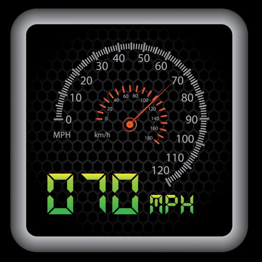
Display speed in miles per hour or kilometers per hour. Show altitude and direction. Switch units by tapping the screen. Track speed for cars, trains, buses, bicycles, and other vehicles.
Track tidal patterns, wave heights, speed, and direction. View water and air temperatures. Access 5-day forecasts. Receive alerts for changing conditions. Sync with location for real-time updates.
Is a utility that works offline and keeps data local. It includes a live camera feed for CCTV, walkie talkie over local Wi-Fi, compass for direction, and leveler for measuring.
The app provides coordinates, direction, and elevation above sea level. Users can save locations by searching and tapping on the map, then send this information via email, Twitter, or SMS.
This app replaces the default autopilot panel, offering HDG, VS, NAV, and APR functions. It includes standard autopilot features from FS9 and FSX aircraft, plus additional controls for heading and NAV/GPS slaving.
The app provides a heads-up display for a car, offering GPS-based speed information with MPH and KPH options. It includes digital and standard font modes, 12 and 24-hour clock options, and portrait and landscape orientations.
Navigation allows pilots to calculate prayer times adjusted for altitude. Import flight plans to create detailed logs. Track Fajr, Dhuhr, Asr, Maghrib, and Isha times along routes. Sync with flight data for accurate scheduling.