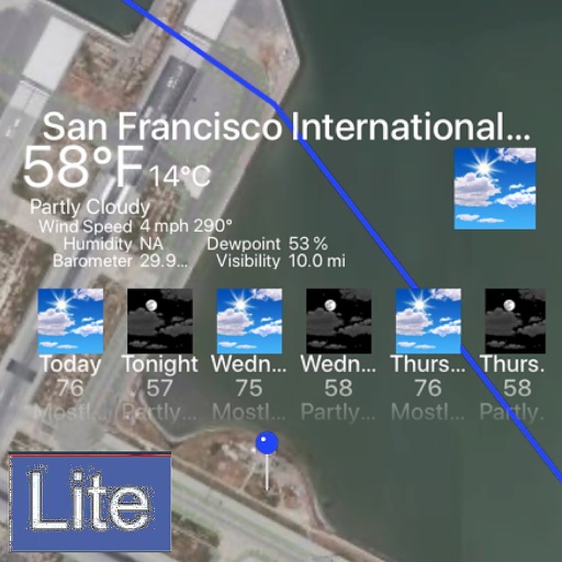
The app obtains and stores flight data, showing elapsed time, distance to take-off, ground speed, and climb rate. It supports competition data entry and displays direction and distance to waypoints, converting data to IGC, GPX, and KML formats.
Manage airspace reservations for unmanned aerial vehicles. View airspace status in real time. Submit and track automated airspace requests. Access flight planning tools and regulatory guidelines.
Track auroras with real-time forecasts and geomagnetic
Track activity with 3-day KP index forecasts and real-time geomagnetic data. View solar wind predictions and location-based likelihood. Set alerts for optimal viewing conditions and access detailed space weather insights.