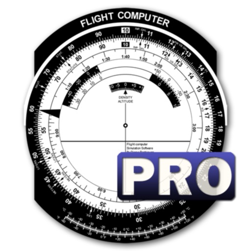
Calculate groundspeed, true heading, compass heading, leg time, distance, fuel required, fuel flow, and endurance for flight planning. Convert airspeed, altitude, and temperature.
Calculate pressure and density altitudes, true airspeed, and mach number. Determine wind correction angle and true heading. Compute crosswind, headwind, and tailwind. Find ground speed and flight time. Calculate fuel burn and cloud base.
View VATSIM network data including pilots, controllers, and airports. Track users and friends. Display flight routes and weather information. Access event details and member certificates. Support dark mode with no ads.
Calculate -related conversions, fuel consumption, and navigation metrics. Perform arithmetic operations and unit conversions. Track time, distance, and speed. Sync with Apple Watch for real-time updates.
The app displays a zoomable map that moves with the aircraft and shows key flight variables. Users can select different map types, aircraft icons, and units of measurement for a personalized flight simulation experience.
Questions, track progress, and review explanations
For FAA and PPL or LAPL exams with question banks, explanations, and digital books. Track progress and practice on mobile. Covers aviation weather, aircraft systems, aerodynamics, and air law.
The app decodes SNOWTAM and MOTNE reports, providing quick access to runway conditions and notification fields. It also calculates cold temperature altitude adjustments using a formula based on Transport Canada's chart.
Study for aviation with subject-specific questions and practice tests. Access over 750 questions covering all subjects. Track progress and review answers for and FAA . Receive structured guidance to prepare for pilot licensing tests.
Remote control four-axis aircraft via iOS device. View real-time video from the aircraft's camera over 2.4G WiFi. Capture photos and videos from the mobile phone. Enable Trajectory Flight mode. Use Voice Control mode for commands.
Track routes, find waypoints, and navigate offline
Navigate outdoors with offline GPS maps and real-time augmented reality. Track waypoints and custom locations. Use a gyrocompass, speedometer, altimeter, and inclinometer. Find celestial bodies and measure angles.
Calculate driving , flight , and fuel costs between locations. View travel time and elevation data. Convert results to miles, kilometers, meters, or feet. Find coordinates in DMS or decimal format. Display road maps for routes.
Block Time Calculator instantly computes block time in hours, minutes, and decimal format. Automatic Night Time Calculation determines night flight duration using accurate sunrise and sunset data.