The app displays a zoomable map that moves with the aircraft and shows key flight variables. Users can select different map types, aircraft icons, and units of measurement for a personalized flight simulation experience.
Allows users to download and share media from DJI devices to Instagram, Facebook, or Camera Roll. It supports 4K, H.265, and DNG file formats. Media can be selected and shared or downloaded with a single tap.
The app displays an aircraft's connection status, type, altitude, and airspeed when loaded in Flight Simulator or X-Plane. It requires the RemoteFlight Server utility for device connection.
Control AR.Drone 2.0 via Wi-Fi using iPhone or iPad touchscreen as a directional pad. Choose between free flight or timed race modes. Capture aerial photos and videos during flights. Perform aerobatic maneuvers mid-flight.
Control drone flights with GPS route, follow, and surround modes. Transmit real-time images and capture photos or videos. Flip images and view 3D VR split screen. Automatically return to home location.
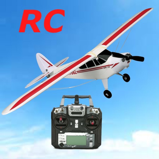
The app allows users to fly over diverse terrain and land on various locations. It simulates flight physics and offers unlockable content and leaderboards for scoring landings.
The app simulates Vietnam War air combat with ultra-realistic 3D cockpits and detailed graphics covering Vietnam, Laos, and Thailand. Users can pilot multiple aircraft and engage in missions with AI gunners and aggressive enemy forces.
Control the via Wi-Fi with FPV support for real-time video and clear photo display. Enable GPS positioning and smartphone following flight. Record and view videos and photos from the drone.
Guangdong Syma Model Aircraft Industrial Co., Ltd.
Record videos and photos remotely
Connect to compatible drones via Wi-Fi for real-time HD video feed. Capture photos and videos. Record short videos. Use gesture controls for photography. Enable GPS functionality for location data.
Plan automated drone missions with linear waypoints, in-point actions, and auto heading to points of interest. Create survey grids for 2D/3D mapping. Supports most DJI drones. Save unlimited missions and drones.
Capture photos with manual control over exposure, focus, and white balance. Edit images using advanced tools for color correction, contrast, and sharpening. Export in high-resolution formats and share directly.