Records trips automatically, tracking distance, duration, elevation, top , and overspeed events. Displays data on a map with visual markers for parking, top , and overspeed points. Allows users to save trips and view detailed summaries.
Track flight emissions and calculate carbon footprint
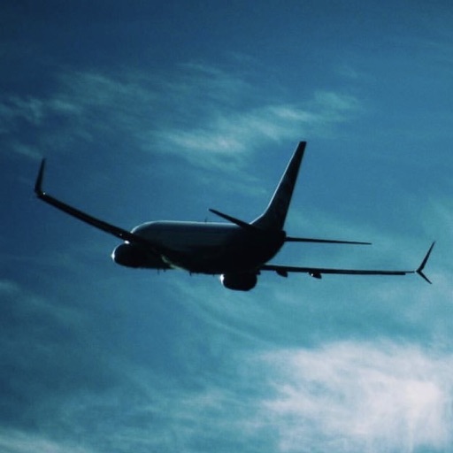
Calculate carbon emissions for flights between any two cities. Select from 40 aircraft types to determine CO2 output. View percentage of annual safe emission limit. Track travel impact and compare flight distances.
Find routes with more curves, elevation changes, and scenic points of interest. Search using natural language for specific driving experiences. Prioritize fun driving routes over fastest paths.