Provide current data for 800,000 cities and regions. Automatically detect location and display local . Show hourly temperatures and daily forecasts. Track temperature trends and weekly patterns. Suggest clothing based on conditions.
The app displays detailed maps of trout streams across the United States, showing access points and fishing locations. It uses the device's GPS to provide real-time navigation and generate driving directions to selected waypoints.
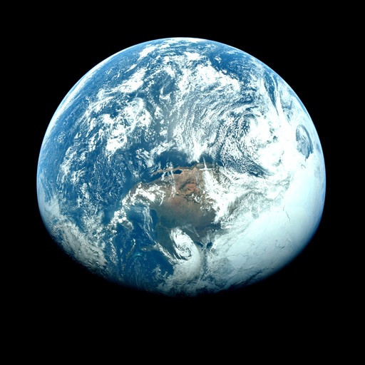
View satellite imagery and time-lapse data to analyze features. Compare images using an A/B slider. Visualize environmental data like air pollution, vegetation, and sea ice. Explore unfiltered satellite views from the ESA’s Sentinel-2 satellites.