Access real-time data and satellite imagery from multiple sources including Clear Sky Charts, Clear Outside, Meteoblue, Windy, Astrospheric, and Sat24. View water vapor images and track wind patterns.
View current danger levels with color-coded maps for North America. Select timeframes to see Today, Tomorrow, or 2 Days Out . Tap regions for detailed reports from source centers. Supports from over 20 organizations including NWAC, CAIC, and UAC.
Check current weather conditions including pressure, temperature, and UV index. View hourly and daily forecasts. Add worldwide locations. Access wind gust data and sunrise/sunset times. Remove ads for a premium experience.
The app displays sunshine hours and sunrise/sunset times for the user's current location. It provides data for today, tomorrow, a week, and a month, including differences relative to previous periods and solstices.
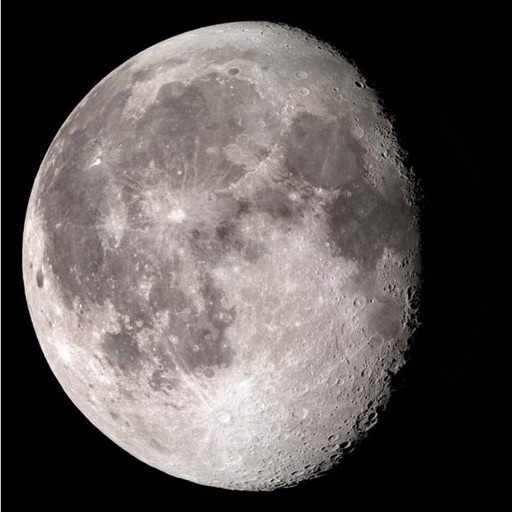
View phases and cycles for any location and date. Track rise and set times, altitude, illumination, and distance. Access detailed orbital data and stripe for full cycle visualization.
View daily summaries with hourly forecasts and a 10-day overview. Check temperature ranges, rainfall in millimeters, wind speed and direction. See probability of rain and sun. Track perceived temperature and forecast reliability.
Determine location using GPS and MGRS coordinates. Display latitude, longitude, and altitude. Show 16 main directions. Operate offline. Suitable for camping and outdoor navigation.
Current shows temperature, icon, and 'feels like' temperature. Displays rain, wind speed, direction, and gusts. Includes widgets for quick views. Allows offline mode for no internet access. Provides hourly and 7-day forecasts.