

Apps Like Wing Loading Calculator for iPhone and iPad
Calculate and canopy size
Calculate by entering exit weight in kilograms or pounds. Input canopy size or use a slider to determine sizing. View and recommended jump experience levels. Helps skydivers select appropriate canopy sizes based on their experience.
Ranked alternatives
Showing 1–20 of 1,000 ranked alternatives.

Funjumpr
Jonathan Bindel
Track weather and plan jumps
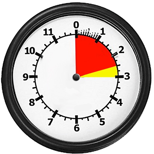
Track live weather conditions, including winds aloft and jump run suggestions. View daily jumpability indicators. Use the load clock to manage pre-jump timing. Check who is present at the dropzone. Access flight planning tools and manifest tracking.

CanopyApp
University of New Hampshire
Capture canopy data with photos
Analyze canopy density by taking photos with a level view using the phone's gyroscope. Select leaf colors with touch inputs. Generate canopy data for different climates and seasons.

Canopy Security
SNTNL LLC
Control your pickup cam remotely
Control your Pickup Cam remotely to monitor truck bed activity. Receive real-time alerts, view live streams, and review past events. Download updates for new features.



Canopeo
Oklahoma State University
Capture canopy cover with photos
Take downward-facing photos to measure green canopy cover percentage. Analyze images to quantify live vegetation coverage. Export results for agricultural or turf management use.
Skydive Altimeter
Greg Callaghan
Practice altitude awareness during dives.
The app simulates an altimeter for skydiving students to practice altitude awareness. It supports metric and feet, configurable jump heights, and simulated audible alerts for different stages of a skydive.


WingAI: Your AI Wingman
Ignition Dating LLC
Chat with AI-powered dating responses
Generate personalized and flirty responses based on chat screenshots or match bios. Provide instant replies to start conversations. Offer advanced features with a subscription.

Spartan Forge: Hunt
Spartan Forge LLC
Find land boundaries and units
Plan hunts with detailed LiDAR maps, satellite imagery, and deer movement predictions. Access land boundaries, ownership data, and parcel change alerts. Customize LiDAR layers and overlay crop data for strategic scouting.

Flashlight ®
ESS International Corporation
Turn on instantly
Turns on instantly without ads or notifications. Includes dimmable LED slider for brightness control. Allows users to toggle on and off. Provides quick access to functionality without additional steps.


Windfinder: Wind & Weather map
Windfinder.com
Detailed wind and weather forecasts available.
The app provides detailed wind and weather forecasts for over 160,000 locations. It offers real-time measurements from 21,000 weather stations and tide forecasts for over 20,000 locations.

Ball AI - Basketball Training
Automatic AI, Inc
Track shots, analyze performance, refine technique
Track basketball shots with motion sensor AI on Apple Watch. Record and analyze shooting stats like accuracy and form. Provide real-time feedback and personalized training suggestions.
How we rank alternatives
Apps are ranked by functional similarity, category fit, rating confidence, and popularity.