Access real-time transit data and official DC maps. Search routes with departure and arrival points to find transfer options, including time, cost, and distance. View nearby attractions and navigation details.
Access real-time train and bus arrival predictions for all stations and stops. View next train and next bus times with automatic updates. Use location-based features to find nearby transit options.
View real-time schedules for RTD buses, light rail, and commuter trains. Set alerts for stops and departures. Plan trips with step-by-step directions. Track vehicle locations and receive updates on delays or changes.
Plan trips by inputting departure and destination stations. View routes for railways and airplanes. Check fares and travel times. Access timetables for all stations. Calculate precise travel durations. Display transfer options.
Navigates public transit with real-time route planning. Displays a customizable dashboard for quick access to key info. Offers offline map access and route adjustments for buses. Saves personal locations for future trips.
Find public transit stations and view upcoming departures with two taps. Track vehicle locations and see predicted departure times where real-time data is available. Get directions and plan routes between locations.
Navigate city streets with real-time transit updates
Plan trips by selecting start and end points on a map. View step-by-step directions and estimated travel times. Track real-time vehicle locations and arrival times. Receive alerts for delays or changes. Save favorite destinations for quick access.
Navigate system with real-time route planning and step-by-step directions. Find nearby stations, check arrival times, and plan transfers. Tap to tap T-money card for fare payment. View maps and schedules for accurate travel information.
The app provides comprehensive transit information for Tokyo, covering tens of thousands of stations and over 600 lines. It offers real-time timetable and train status updates, along with step-by-step directions for optimal routes.
Plan trips by selecting stops and directions. View real-time train schedules and platform information. Get step-by-step guidance on where to stand for quick exits. Receive alerts for train arrivals and delays. Share trip details with others.
Plan routes and explore networks in different cities by switching locations instantly. View metro, subway, and tram systems with integrated geographic . Get real-time updates and navigate crowded urban areas efficiently.
Track real-time arrivals for Local and Commuter Buses, Metro Subway, and Light Rail. Search for routes and save stops. View live data for accurate scheduling. Receive updates on next vehicle arrival times.
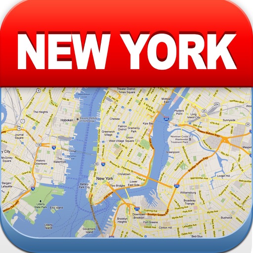
The app provides a route map for New York City's rail and subway system. It includes a route planner, station index, lines overview, and GPS support to find nearby stations.
View maps of New City, including subway and airport routes. Navigate using real-time GPS without internet. Bookmark addresses for trip planning. Access top attractions and explore without data usage.