Turn photos into drawings, cartoons, or sketches with one click. Apply 19 effects with full control. Save creations and share via Facebook, Twitter, Flickr, Tumblr, and Email.
Identify stamps by snapping photos. View real-time market price ranges. Get grading tips and valuation guidance. Save stamps to a digital album. Organize collections and track progress.
Download and view FAA airport diagrams and facility directories offline. Access airport maps, frequencies, elevation, and helipad information. Find nearby airports and save favorites for quick access. Update charts monthly for accurate data.
Control drone flights with automated missions, semi-automated workflows, and manual controls. Set waypoints, orbits, and vertical mapping. Preview missions in 3D. Support for DJI and Autel drones.
Turn photos into drawings, cartoons, or sketches with one click. Apply various effects including black strokes, white strokes, pastel, and halftone. Adjust edge strength, opacity, contrast, brightness, and saturation.
Organize documents with tags, color-codes, and favorites for quick access. Search and filter content efficiently. View and annotate technical manuals and maintenance guides. Sync documents across devices and access offline.
Add geotags to photos using GPS data. images with location coordinates from camera or gallery. Choose map type and customize time format. View geotagged photos on a map. Export or share tagged photos with location details.
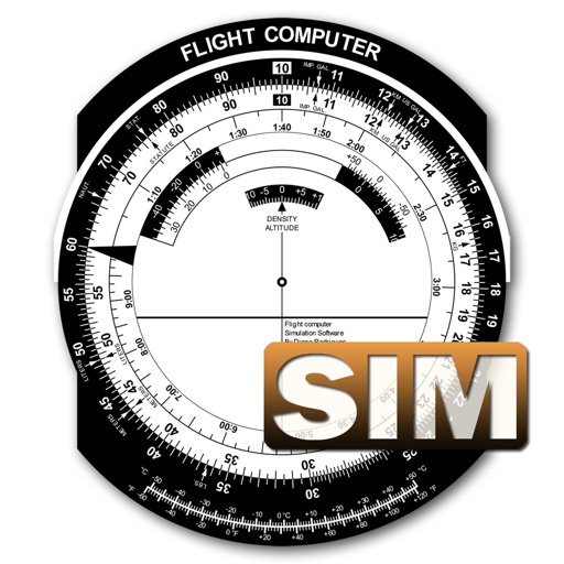
A utility simulates an E6B slide ruler for aircraft pilots. Perform conversions, wind corrections for low and high speed. Rotate, slide, and pinch zoom for precise control. Includes three calculation modes.
Scan stamps to instantly identify them with details like origin, year, and historical context. View estimated value and access a comprehensive world catalog. Learn about history and compare similar stamps.
Learn and practice IFR flying with a simulator that allows setting up custom navigation aids, aircraft position, speed, and movement. Adjust runway direction, wind conditions, and use instruments like VOR, HSI, DME, and RMI.
Plan trips with detailed Points-of-Interest information. Access 66 News and Event Calendar. Use turn-by-turn navigation. Stamp a Virtual Passport. Take and share selfies. Listen to Audio Tours. View Field content. Access VIP Membership features.
Add or stamps to with date, timestamp, custom signature, GPS geolocation, and logo watermark. Edit images directly in the gallery to prevent blurring. Apply multiple stamps simultaneously. Save marked to the camera roll.
Calculate inflight periods with customizable distributions and flight data input options. Set wake-up alerts for crew changes. View schedules in a clear, round-up format. Supports multiple crew roles including pilots and cabin crew.