The app provides real-time tracking of the International Space Station. It offers visible and 24-hour pass predictions with alert notifications for overhead passes.
Play interactive to improve attention, observation, and fine motor skills. Complete levels with increasing difficulty. Track progress and revisit weekly new puzzles. Share achievements with family.
Plan and manage satellite by analyzing economic, technical, and social factors. Simulate mission scenarios, optimize system performance, and evaluate launch strategies for different orbit altitudes.
Navigate with detailed maps showing marinas, anchorages, bridges, and locks. View satellite imagery and receive navigation alerts. Add and share points of interest. Earn rewards and read verified reviews from other boaters.
Explore a 3D map of the Milky Way, Andromeda, and their satellite galaxies. Navigate through the Orion Arm to view nebulae and supernovae. Fly through planetary atmospheres and land on planets.
The app displays near real-time images from NASA satellite instruments for any location on Earth. Users can observe weather and other conditions by moving a cursor on a world map to view NASA's LANCE data.
Explore satellites that monitor weather and climate change using augmented reality. Complete missions to learn about satellite instruments, data transmission processes, and their role in weather forecasting.
View video streams of Earth from the International Space Station. Watch continuous 24/7 footage. Access real-time imagery and satellite data. Adjust camera angles and zoom. Receive notifications about space events and launches.
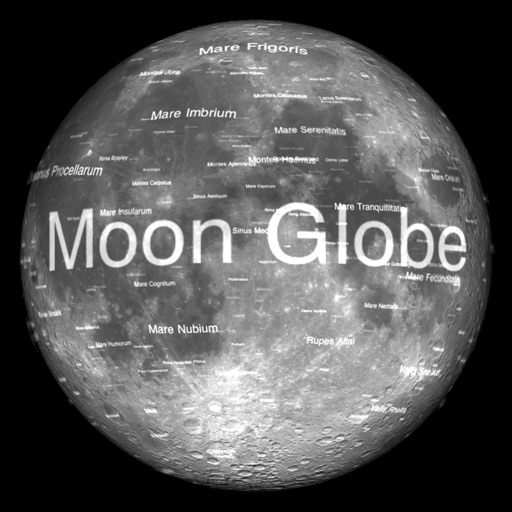
The app renders the Moon in realtime 3D using satellite imagery and topographic data. Users can manipulate the view, adjust sunlight, and see labeled terrain features and spacecraft.