Transmit and control drones via Wi-Fi. Take photos and videos remotely. Adjust drone movement in real time. View live feed and manage flight settings. Save media files directly to device.
View forecasts for today, tomorrow, or any day. Check real-time radar and satellite imagery. Receive hyperlocal alerts and updates. Share live reports with others. Track current conditions and historical data. Set custom location preferences.
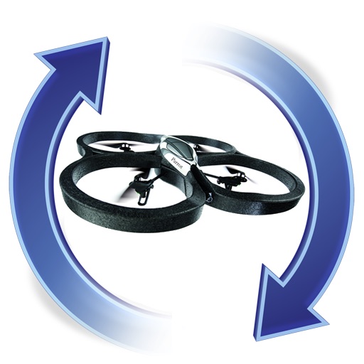
The app manages firmware for AR.Drones, allowing upgrades and downgrades to any version. It sends push notifications when new firmware becomes available.
The app offers local weather data and forecasts for Canada and the USA. It presents current conditions, hourly forecasts, and radar information with watches, warnings, and alerts.
View current and forecasted data for any location. Access live radar updates and precipitation maps. Track temperature, wind speed, humidity, and pressure. Set location reminders and receive alerts for severe conditions.
The app provides detailed, up-to-date forecasts and location-specific alerts from the local KXLY First Alert weather team. Users can view live and future radar, satellite imagery, temperature, and wind speed maps, and check local school closures.
Provides local forecasts for every U.S. city and territory. Displays daily and hourly updates created by real meteorologists. Uses data and technology for accuracy. Shows reasoning behind forecasts instead of just predictions.
The app provides hour-by-hour and ten-day forecasts. It includes radar with detailed overlays and local weather conditions from the KOMU 8 First Alert Weather team.
Manage drone operations with real-time flight control, camera settings, and mission planning. View aerial data and images for property inspections. Integrate with AI tools for automated analysis and report generation.
View current and 72-hour forecasts with temperature, precipitation, humidity, UV index, and air quality. Check day/night temperatures, wind, visibility, and sunrise/sunset times. Receive for severe events like hurricanes and heavy precipitation.
Access real-time METAR, TAF, and NOTAM data for global airports. Plan and save flight routes with offline storage. Sync data via iCloud. View briefings and pilot reports. Track conditions and flight-related alerts.