
Apps Like coGIS Live for iPhone and iPad
Ranked alternatives
Showing 221–240 of 1,000 ranked alternatives.

Aurora Rover
1000865576 Ontario Inc
Navigate and manage high-density routes
Manage field service tasks with real-time route optimization and high-density scheduling. Track job progress, communicate with customers, and access work orders offline. Log time and expenses directly from the field.


GO Mobile by Compusult
Compusult Limited
Mobile geospatial tool for incident management.
The app provides mapping visualization and awareness for in-field data collectors. It allows users to collect, share, and access geospatial information in connected or disconnected environments.




Jovia GPS
JOVIA SAT LTD
Track assets and live creatures in real
Track and monitor assets like generators, containers, vehicles, and live creatures such as pets and children. Receive automatic reports and real-time updates. Used by military and civilian groups for 24/7 force control and transportation management.


Cellular Tower - Finder Signal
Davit Chkhaidze
Find towers, measure , track strength
Locate nearby towers with an interactive map. Filter by carrier or network type. Measure strength and analyze connection stability. Detect weak areas and identify coverage zones. Monitor data and track performance over time.

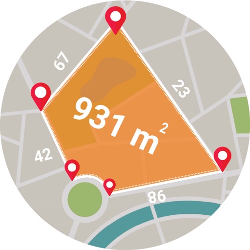
Live GPS Land Area Calculator
Muhammad Asad Khan
Measure areas and distances with GPS
Calculate areas, plots, and distances using GPS technology. Draw and map regions on a map. Measure perimeter and of custom shapes. Save and share measurement data. Export maps in various formats.


Lotus Vehicle Tracker
Scorpion Automotive Ltd
Track vehicles and manage drivers
Monitor locations in real time using GPS and GSM technology. Track driver behavior, set geofences, and receive alerts for unauthorized movement. Manage multiple vehicles and drivers from a single interface.


Geoforce
Geoforce, Inc.
Track assets with GPS precision
Track assets in real time using GPS to monitor exact locations. Set geofences and receive alerts for movement. View detailed maps and historical data. Manage multiple assets with customizable dashboards.
How we rank alternatives
Apps are ranked by functional similarity, category fit, rating confidence, and popularity.