

Apps Like Wildfire App-Maps・Fire Tracker for iPhone and iPad
Track wildfires and view maps
View interactive maps with real-time locations. Receive alerts about nearby fires. Monitor live updates and track fire spread. Plan safe routes and avoid danger zones. Access detailed safety reports and evacuation guidance.
Ranked alternatives
Showing 641–660 of 1,000 ranked alternatives.


Offline Cache Map
LowSphere
Download maps, save routes, navigate
Download and save map tiles for use. Navigate routes without an internet connection. Manage saved maps and routes. Perform fast map searches and navigation. View banner and full-screen ads when saving maps.

Poison Maps - Eastern Europe
Ian Muriss
Find POIs and navigate offline
Find Points of Interest with detailed categories including hotels, banks, toilets, tourist attractions, and hospitals. View routes and locations offline. Search for specific POIs and navigate using map-based directions.

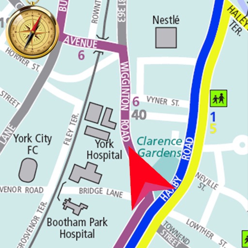


UIUC Bus for Watch
Rishi Masand
Find stops, view routes, track buses
Navigate the campus and Champaign-Urbana area with real-time bus information. Find stops near you, view up-to-date departure times, and track bus locations. Access CUMTD service details directly from the .

Real Fire Society
MGPI
Earn points and track rewards
Earn points for every purchase and track rewards. Redeem points for discounts and rewards. Sign up for a rewards account. View personalized offers. Check purchase history and reward balance. Manage account settings and preferences.

Azimuth Maps
Hiroki Kawashima
Map reference area orientations easily.
The app displays the orientation of reference areas on a map. Users can view cardinal orientations at 30°, 60°, or 45° intervals, with 12-direction display supported.

How we rank alternatives
Apps are ranked by functional similarity, category fit, rating confidence, and popularity.