
LinkedMap
Bingxin Li
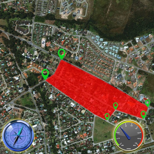
Plan multiple routes with pin drops.
The app supports multiple pin drops with annotations for planning routes. Users can select different routes and view specified routes on the map.

Track wildfires and view maps
View interactive maps with real-time locations. Receive alerts about nearby fires. Monitor live updates and track fire spread. Plan safe routes and avoid danger zones. Access detailed safety reports and evacuation guidance.
Showing 461–480 of 1,000 ranked alternatives.
Bingxin Li
Plan multiple routes with pin drops.
The app supports multiple pin drops with annotations for planning routes. Users can select different routes and view specified routes on the map.


Ladkunvar Ahirwar
Explore real-time satellite views
View real-time satellite imagery of any location. Explore 3D terrain and interactive street views. Track location and receive traffic updates. Navigate with detailed maps and location-based information.

Davit Chkhaidze
Navigate to spots and track your location
Provides interactive maps with lakes, rivers, and zones. Users can track routes using offline GPS navigation. The includes tools for marking locations and planning trips.

Scorpion Automotive Ltd
Track vehicles and manage drivers
Monitor locations in real time using GPS and GSM technology. Track driver behavior, set geofences, and receive alerts for unauthorized movement. Manage multiple vehicles and drivers from a single interface.

Ivan Blajic
Plan routes, view maps, and overlay grids
View maps in multiple styles and overlay grids for precise navigation. Access live location data including coordinates, address, heading, and speed. Plan routes with detailed terrain analysis and save custom waypoints.

BZT, LLC
Track loved ones in real time
Track real-time locations of MeshTag devices using the . Set geofences and receive alerts when locations change. Share location data with trusted contacts in a MeshCircle. View activity logs and manage device settings.


Harshaben Hirpara
Track location in real time
Track real-time location of devices using GPS. Receive notifications about movement and geofence alerts. Access device data remotely. Set up tracking profiles for multiple devices. View activity logs and location history.


Ian Muriss
Find points of interest anywhere offline.
The app stores millions of points of interest and routes on the user's device for offline access. It includes a toolbar for quick access to categories, signs pointing to offscreen points of interest, and compass, radar, and scanner modes.


Pure Watercraft, Inc.
View trip maps and track statistics
View trip maps and statistics like top speed and energy usage. Connect via Bluetooth to check charging status, manage settings, and receive firmware updates. Contact for support.

Ali Khaled
Navigate campus with real-time maps
View campus maps with visual directions. Find fastest between locations. Search for buildings and classrooms. Get real-time navigation assistance. Bookmark favorite spots for quick access. Share locations with others.

Surmount Development (HK) Co., Limited
Secure premises with fire safety plans
Provide fire safety assessments, design fire protection systems, and offer consultation services. Help identify risks, create evacuation plans, and ensure compliance with safety regulations.

Shingle Oy
Detailed topographic map of Norway.
The app provides detailed topographic maps of Norway for offline use. Users can download map areas, record tracks, plan routes, and measure distances and angles.

Pasi Salenius
Explore maps, track trails, navigate outdoors
View topographic, nautical, and aerial maps. Save locations as markers syncing across devices via iCloud. Measure distances, draw paths, and use Look Around to navigate. Explore preloaded maps for hiking, hunting, and outdoor activities.
Apps are ranked by functional similarity, category fit, rating confidence, and popularity.