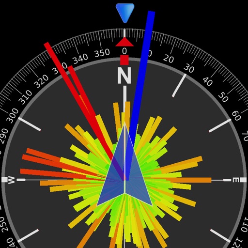
The app records and exports user trips for geo-tagging or trip management. It displays live paths on a map and provides details like speed, distance, and altitude.
The provides sailing club and marina locations, part suppliers, repair shops, and current weather data. Users can view maps with green pins marking landmarks and marinas. Navigate to specific resources and check real-time weather conditions.
Track speed, average speed, maximum speed, and directional speed. Measure velocity made good and wind speed. Calculate the Pilot Performance Index to assess flight performance. Compare results with others or against autopilot settings.