Track ski runs with GPS, live speed, elevation data, and terrain insights. View animated route replays. Use intelligent tracking modes and receive automatic feedback. All features require a subscription.
The app provides offline topographic map coverage of New Zealand's South Island. It includes satellite images, elevation data, and integrated data for various outdoor activities.
Track shaving sessions with metrics like aggression and ratings. Log razor and blade combinations. Store soap preferences and lather details. Share notes and reviews. Sync data across devices. Manage a digital collection of shaving products.
Turn your iPhone or iPad into an outdoor GPS or marine chart plotter. Use detailed Topo maps or NOAA marine charts for navigation. Access maps offline without a network connection. View GPS location without mobile signal.
Manage dog show schedules with real-time updates on dates, superintendents, and judge changes. Track championships, results, and achievements. Receive smart alerts for updates. Access judge details and ring times.
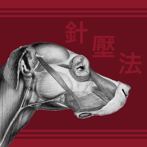
The app displays major meridians and acupoints on a dog with clear images. It provides point classification, location, energetics, functions, and suggestions for canine conditions.
View current location in UTM or lat/lon formats. Record and save waypoints. Track movement with up to 40 tracklog points. Navigate using GPS for hiking, mountain biking, and kayaking. Switch between coordinate systems. Store up to 3 waypoints.