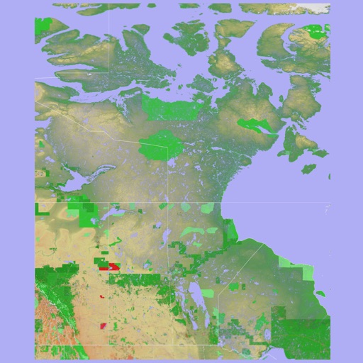
The app provides a 3D topographical map of Western Canada. Map data downloads to the device for use without an internet connection, allowing users to view terrain features as small as ten meters.
The app presents a 3D topographic map of Eastern Canada. Users can download map data for use without an internet connection, suitable for various travel methods.
Explore historical alignments of and significant . View cardinal , solstice sun paths, and lunar standstills. Locate ancient sites aligned with these . Share and save location data for reference.
Learn country and through interactive quizzes and games. Test knowledge with flag identification and geography challenges. Track progress with detailed statistics and study modes. Share scores and compete with friends.