
Qibla Compass Accurate
Takao Ichimura
Find direction and distance
Display the direction and distance to the Kaaba using a interface. Tap the Adhan button to trigger a sound. Adjust device orientation to align the Kaaba indicator for navigation.

Showing 221–240 of 1,000 ranked alternatives.
Takao Ichimura
Find direction and distance
Display the direction and distance to the Kaaba using a interface. Tap the Adhan button to trigger a sound. Adjust device orientation to align the Kaaba indicator for navigation.



Andrea Bisegna
Get METAR, TAF, and NOTAM reports
View real-time data for airports including METAR, TAF, NOTAM, WINDS ALOFT, and forecasts. Access ICAO and IATA codes, coordinates, and sunrise/sunset times. Manage favorite airports, search by location or code, and display all airports on a map.


Merge
Explore Earth's data in 3D
Explore real-time satellite data and simulations of Earth's systems using a Cube. Rotate 3D models of the planet, view atmospheric layers, and track weather patterns.

Sanket Rola
Track locations in real-time 3D
3D maps with high-resolution terrain details. Track real-time GPS locations. Explore satellite imagery and active satellite data. Navigate through cities and rural areas with detailed landscape visuals.
Xavier Daxhelet
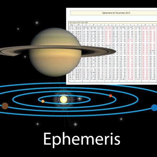
Track celestial positions and data
View celestial events like sunrise and sunset times, planetary positions, and declination data. Adjust date and time to check ephemeris for the Sun, Moon, and planets. Access physical properties of celestial bodies including distance and mass.


Casey Evanoff
Open KMZ files directly
Open KMZ files by decompressing them into KML format. View the resulting KML files in Google Earth or as source code. Access stored KMZ files in "My KMZs" and delete them by swiping.

Jorge Gregorio Martin Bello
Identify mushrooms with instant recognition
Identify mushrooms by taking photos. Use built-in database to recognize species instantly. View detailed information about each family. Works globally and syncs with Apple technology for accurate identification.

Uchadadiya Nirali
Explore streets and landmarks with 360° views
Explore streets and landmarks with 360° panoramic views and detailed maps. Plan routes, search for nearby locations, and and terrain imagery. Navigate with real-time map updates and interactive -level perspectives.


Blue Blink One, SL
Measure distances, perimeters, and areas.
The app calculates surface areas, fields, plots, and dimensions for various field work needs. It measures distances, perimeters, and areas with precision over satellite images.
Apps are ranked by functional similarity, category fit, rating confidence, and popularity.