Apps Like Good Earth:Stay ConnectedEarth for iPhone and iPad
Track location and view coordinates
Track location with live coordinates and altitude. Convert GPS data to readable addresses. Monitor speed and heading for motion tracking. Access real-time environmental data for navigation.
by 荐 梁★ 5.02 ratingsNavigationFreeData updated 2026-09-06
Access real-time and TAF reports for accurate aviation weather data. View wind speed, visibility, temperature, and cloud coverage. Set location preferences and receive updates. Share reports via email or messaging.
Track GPS data including , speed, latitude, longitude, and signal accuracy. View real-time compass with COG data for S0, S1, S2, and S4. Receive data from iPhone while using Apple Watch.
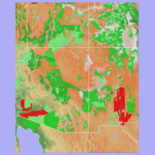
The app provides 3D topographic maps for iPad and iPhone. Vector map data is contained within the app for offline use, supporting navigation in various environments.
Track location and map terrain with real-time GPS data. Create and save custom routes. Mark waypoints and measure distances. Share maps and routes with others. Sync with devices for offline navigation. View elevation changes and terrain details.
Log time segments and calculate total time with Time. View block and duty intervals to manage scheduling. Perform preflight performance checks using aviation-specific calculations.
Charge vehicles, navigate routes, track energy use
Navigate routes with real-time traffic updates and turn-by-turn directions. Locate and access EV stations. Monitor battery levels and plan stops. Integrate with vehicle systems for seamless navigation and management.
Tracks driving behavior by detecting start and stop events using phone sensors. Measures vehicle dynamics and logs trips in the background. Uses GPS for location data and low-power sensing to minimize battery drain.
The app records trips, allowing users to mark points of interest and return to saved locations. It can send an SOS with current position and route data, and share recorded route information via email.