

Apps Like Good Earth:Stay ConnectedEarth for iPhone and iPad
Track location and view coordinates
Track location with live coordinates and altitude. Convert GPS data to readable addresses. Monitor speed and heading for motion tracking. Access real-time environmental data for navigation.
Ranked alternatives
Showing 561–580 of 1,000 ranked alternatives.

Qibla Compass Accurate
Takao Ichimura
Find direction and distance
Display the direction and distance to the Kaaba using a interface. Tap the Adhan button to trigger a sound. Adjust device orientation to align the Kaaba indicator for navigation.

Save Location : GPS Map
MadhavKumar Bhayani
Locations and recall them anytime
And share precise details with exact coordinates. Store locations with associated dates. Retrieve saved locations to navigate back easily. View history and access saved addresses for future reference.


Parknav Parking
AI Incube, Inc.
Find spots and navigate to them
Find available spots near your destination or current location using real-time heatmaps and smart navigation. View availability by neighborhood in cities like Chicago, NYC, LA, and SF.

Mecca-domestic
Lars Hansen
Find direction with GPS
Determine direction to using GPS and compass. Display distance to . Show longitude, latitude, and address. Requires GPS permission for accurate calculation.

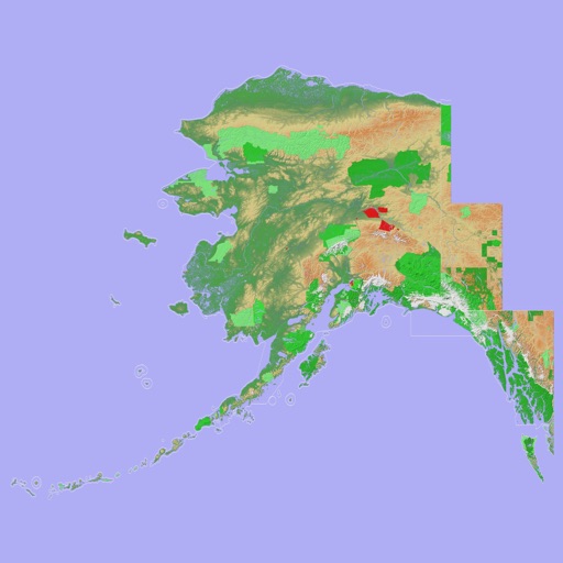
Scenic Map Alaska
Mark Granger
Explore 3D topo maps offline
View 3D topographic maps of offline with vector data. Navigate by car, boat, plane, or on foot. Access worldwide satellite maps online with automatic caching. Toggle between map types and zoom to any location.


FlyBy E6B
Lonnie Ganz
Calculate flight paths and fuel burn
Calculate flight performance with wind and density altitude inputs. Perform fuel burn calculations and determine true airspeed. Convert units and view flight path diagrams. Save and share flight plans.

GPSRecorder
Cyril Godefroy
Record location, track movement, geotag photos
Records position, distance, and duration during use. It tracks movement and geotags external photos. Users can review tracks on a map, view speed and distance, and export data as GPX files for other software.


How we rank alternatives
Apps are ranked by functional similarity, category fit, rating confidence, and popularity.