

Apps Like Good Earth:Stay ConnectedEarth for iPhone and iPad
Track location and view coordinates
Track location with live coordinates and altitude. Convert GPS data to readable addresses. Monitor speed and heading for motion tracking. Access real-time environmental data for navigation.
Ranked alternatives
Showing 341–360 of 1,000 ranked alternatives.

Nav Camera
Craig Hunter
Record photos and videos with data overlays
Record photos and videos with real-time data overlays. Use augmented reality for navigation. Access proven navigation and image processing technologies. Capture geospatial data during recordings. Share media with embedded location and time stamps.


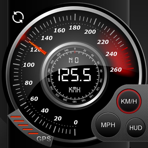
Speedo GPS Speed Tracker, Car Speedometer, Cycle Computer, Trip Computer, Route Tracking, HUD
Kevin Siml
Track , distance, and
Record data including , average , distance, altitude, and elapsed time. View real-time GPS tracking with longitude and latitude. Monitor statistics and save history. Sync with devices for offline navigation.

CoordCalc
Justin Graham
Calculate distance and bearing between points.
The app calculates distances and bearings between two points using latitude and longitude. It can also determine a final position from a starting point, distance, and bearing.


Crowsflight
CW&T Studio LLC
GPS compass points to destination.
The app provides mapless navigation using GPS and compass data. It allows users to drop markers, search for destinations by address or placename, and view locations on a map.


DistanceCalculator - Map tool
Mapnitude Company Limited
Measure distance on the map
Measure distance on a map with accurate earth curvature calculations. Plan routes and find shortest paths. Track distance hands-free with automatic location following. Edit paths by adjusting points or values in-.

GPS Stone
Francois Lamboley
Record and export all user trips.
The app records and exports user trips for geo-tagging or trip management. It displays live paths on a map and provides details like speed, distance, and altitude.




Street View - Panorama 360°
Samip Ukani
Explore 360 views and navigate streets
Explore locations with 360° panoramic views. Navigate using photo spheres and photo paths. Access for detailed surroundings. Share and save panoramic images. Sync with maps for real-time navigation.

Handy GPS lite
Anthony Dunk
Track routes, record trails, and return safely
View current location in UTM or lat/lon formats. Record and save waypoints. Track movement with up to 40 tracklog points. Navigate using GPS for hiking, mountain biking, and kayaking. Switch between coordinate systems. Store up to 3 waypoints.

ROADS by Porsche Route Planner
Porsche Cars North America, Inc.
Plan scenic routes between locations
Plan routes between multiple locations with customizable settings. Select scenic paths based on elevation, curves, and speed. Save and share routes. Integrate with navigation systems for real-time guidance.
How we rank alternatives
Apps are ranked by functional similarity, category fit, rating confidence, and popularity.