
FleetMan
DUBAI TECHNOLOGIES LLC
Manage vehicles and drivers on road.
The app handles vehicle management tasks from start to finish. It tracks fleets and drivers, supports remote vehicle disabling, and manages vehicle maintenance and fuel.

Showing 541–560 of 1,000 ranked alternatives.
DUBAI TECHNOLOGIES LLC
Manage vehicles and drivers on road.
The app handles vehicle management tasks from start to finish. It tracks fleets and drivers, supports remote vehicle disabling, and manages vehicle maintenance and fuel.




Pit Schneider
Check speed cams and traffic alerts
View speed cameras and checks, including fixed, average, red light, trailer, and mobile types. Check bus, train, and tram departures. Find parking availability and electric car charging stations. View accidents, hazards, and roadworks.
Christopher Shireman
Display speed and time easily.
The app provides a heads-up display for a car, offering GPS-based speed information with MPH and KPH options. It includes digital and standard font modes, 12 and 24-hour clock options, and portrait and landscape orientations.

3B Soft srls
Record car trips with video.
The app records car trips using GPS tracking and video capture. Videos include speedometer, map, and live audio, exportable to the photo library or viewable within the app.

Jorma Rodieck
Explore depths with high-resolution maps
Explore seafloor topography using NOAA's high-resolution bathymetry data. View underwater features like reefs, ledges, and channels. Access maps offline without a subscription.
Alastair Orchard
Calculate average speed trap savings instantly.
The app calculates how much time can be saved by returning to the legal speed limit. It works with various average speed trap systems and continues to run in the background during calls.


GPSmyCity.com, Inc.
Explore , discover landmarks, navigate streets
Explore cities with self-guided walking tours featuring popular attractions and hidden spots. Navigate using a detailed interactive map. Locate points of interest and follow turn-by-turn directions. Save favorite routes and track progress during .
Mark Granger
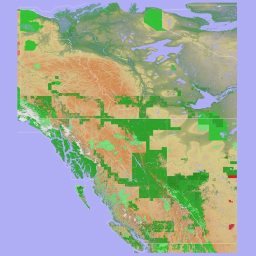
3D topo map of Western Canada
The app provides a 3D topographical map of Western Canada. Map data downloads to the device for use without an internet connection, allowing users to view terrain features as small as ten meters.

Mark Granger
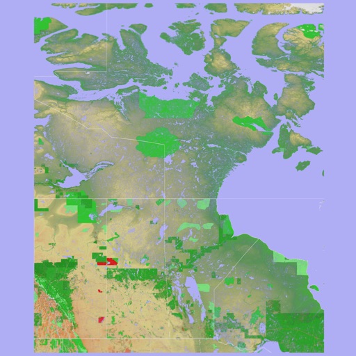
3D topographic map of Eastern Canada
The app presents a 3D topographic map of Eastern Canada. Users can download map data for use without an internet connection, suitable for various travel methods.

30 South LLC
Track sailing and boating activities easily.
The app tracks sailing and boating activities using GPS. It records speed, distance, altitude, pace, and time, displaying routes on a color-coded map.

G Sanghani
Track speed, distance, and trip time
Tracks current, maximum, and average speed using GPS. Displays speed in analog and digital formats with colorful LED. Records distance traveled and trip time. Functions as a trip meter and for vehicles, walking, running, biking, and boating.


Sathi Digitech Solution Ltd
Track vehicles, manage routes, monitor safety
Track vehicle locations in real time with live GPS updates. Monitor speed, direction, and vehicle status. Review past routes, view exact paths, and analyze stops made.

Apps are ranked by functional similarity, category fit, rating confidence, and popularity.