Navigate with precision and explore trails efficiently
Navigate with multiple styles, including analog and digital interfaces. Set and track waypoints, view elevation data, and receive turn-by-turn guidance. Sync with GPS devices and share route maps.
Access vector charts, freshwater maps, and USACE river maps. Create or import routes using GPX/KML. Receive voice prompts for navigation. View tide and current predictions. Rotate charts with text remaining upright.
Plan trips with offline maps, detailed directions, and attraction guides. Access insider tips and travel content. Book and read restaurant reviews. Share and view user-generated content.
Photos with GPS data including , time, weather, and compass. Share geotagged photos with contacts. Add map markers, latitude, longitude, and altitude to images. Stamp photos with date and time. Sync data with captured photos.
Monitor vehicle location, orientation, and direction on an in- map. View real-time engine status, speed, RPM, and fuel consumption. Navigate to destinations without leaving the . Receive instant notifications for car incidents.
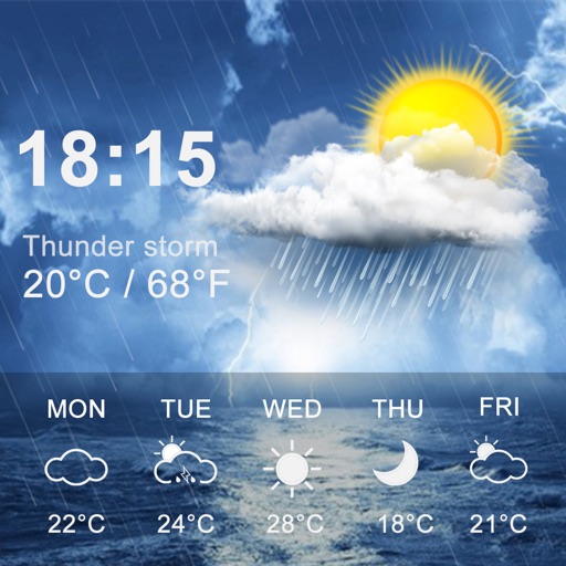
Provides 3-day forecasts and 14-day outlook. Displays current conditions, temperature, and precipitation. Includes atmospheric pressure and wind speed. Features widgets for quick access. Automatically detects location for accurate forecasts.
Receive current coordinates and manage location data. Locate nearby places based on coordinates. Share coordinates via SMS, email, or copy-paste. Search for nearby locations using coordinate input.
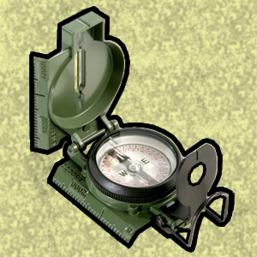
Enter MGRS or coordinate data to navigate to specific points. Adjust pace count and track deviations. View distance, speed, and angle settings in meters/km or feet/miles. Analyze movement patterns for navigation improvement.
INCLUSION AND ACCESSIBILITY LABS DESIGNATED ACTIVITY COMPANY
Navigate with and open source guidance
Navigate using spatial audio to identify points of interest and directions. Listen to real-time location-based information. Customize audio settings for different environments. Share location data with trusted contacts.
The app provides coordinates, direction, and elevation above sea level. Users can save locations by searching and tapping on the map, then send this information via email, Twitter, or SMS.